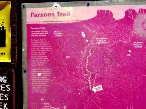
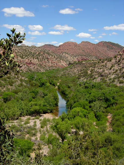
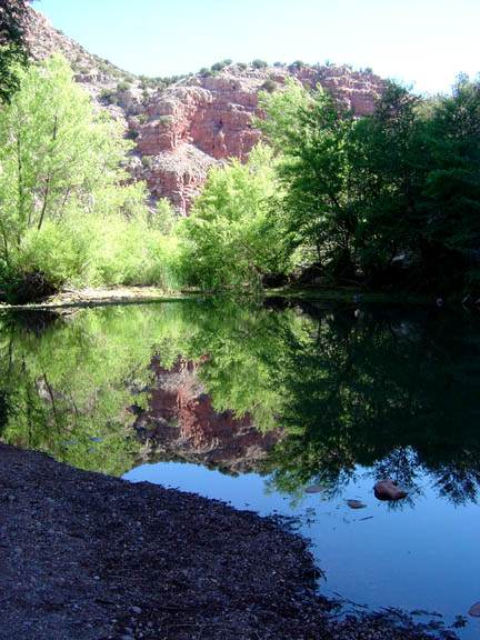
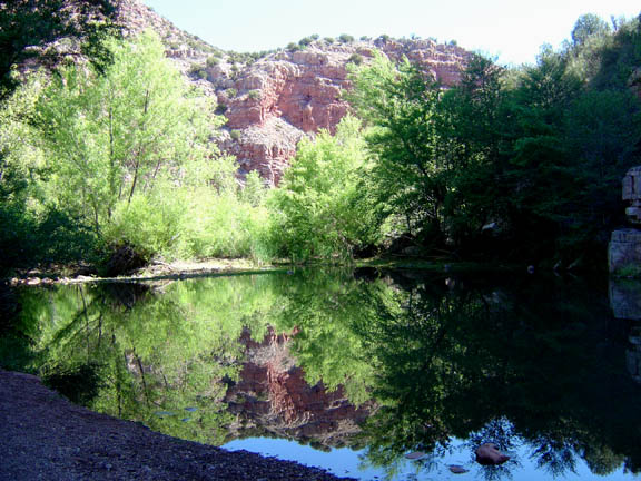
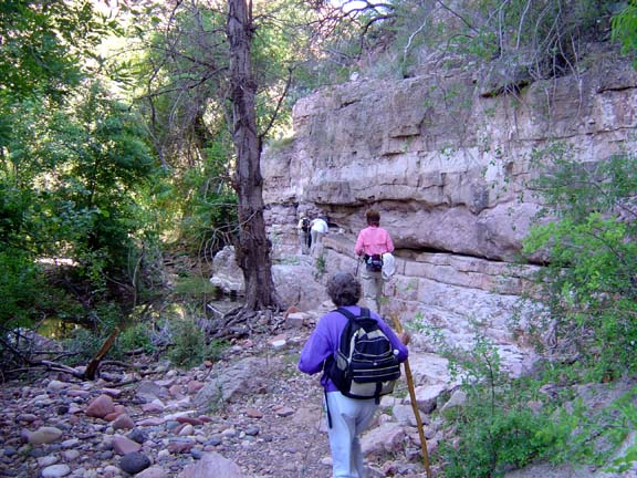
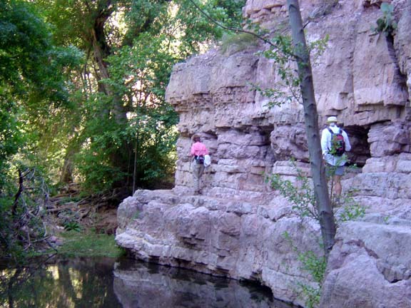
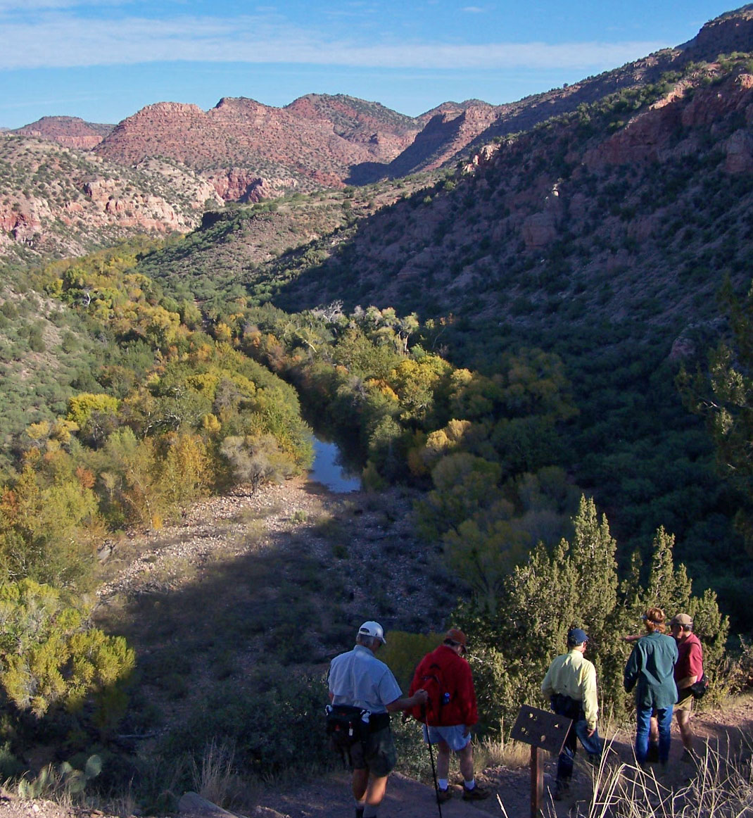
Summary: A hike along Sycamore Creek in a picturesque canyon
Challenge Level: Moderate
Hiking Distance: About 5 miles round trip
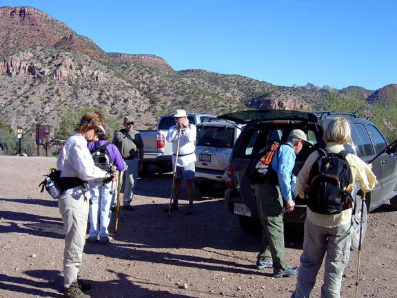
Trailhead Directions: From the "Y" (the intersection of State Route 89A and State Route 179), drive west toward Cottonwood on SR 89A and follow the signs to the Tuzigoot National Monument. After turning on to Monument Road, drive 0.5 mile and turn left on to Sycamore Canyon Road. Proceed for about 8 miles. The trail head is located at coordinates: N34 51.843 W112 04.156.
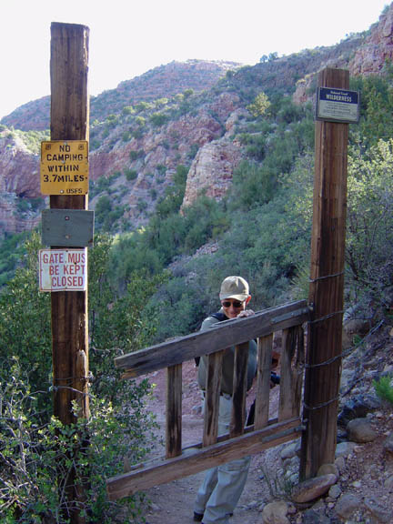
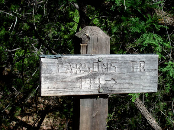
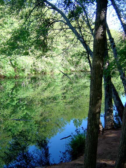
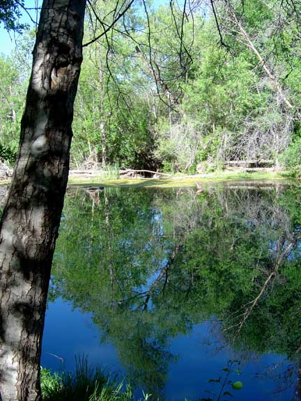
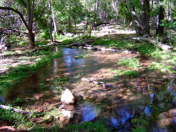
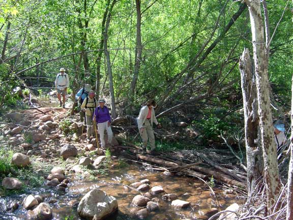
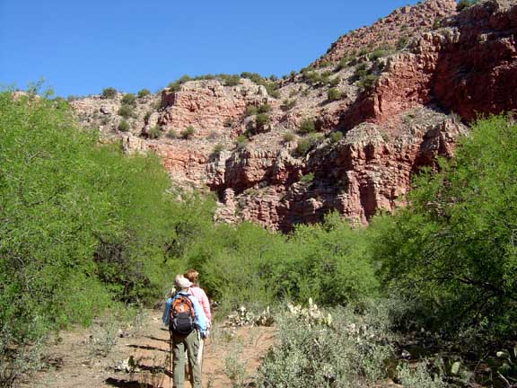
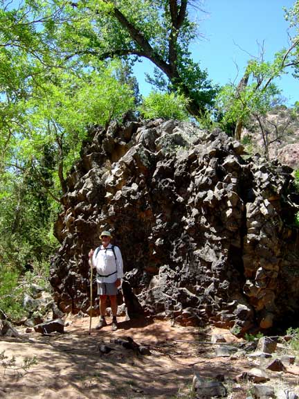
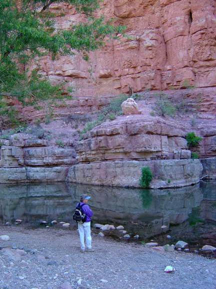
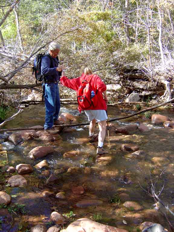
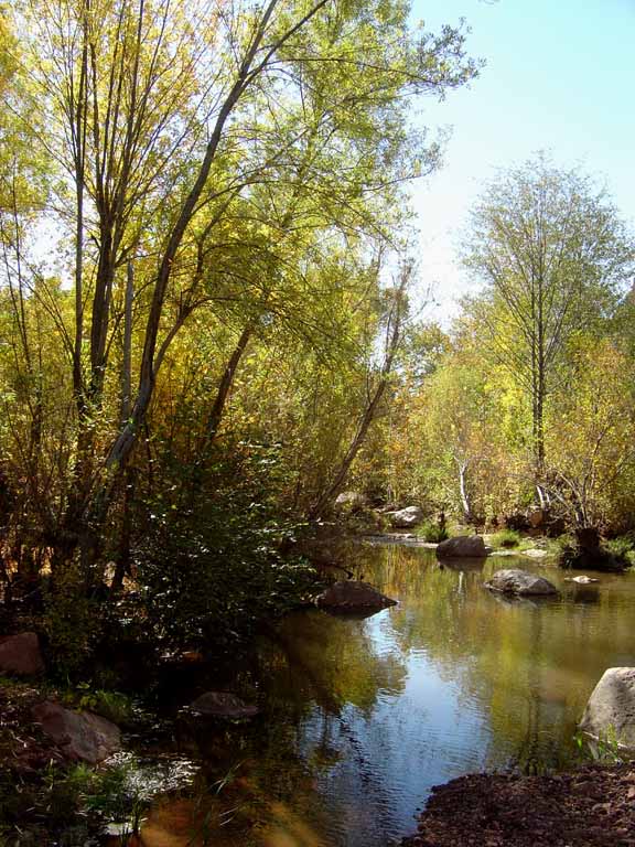
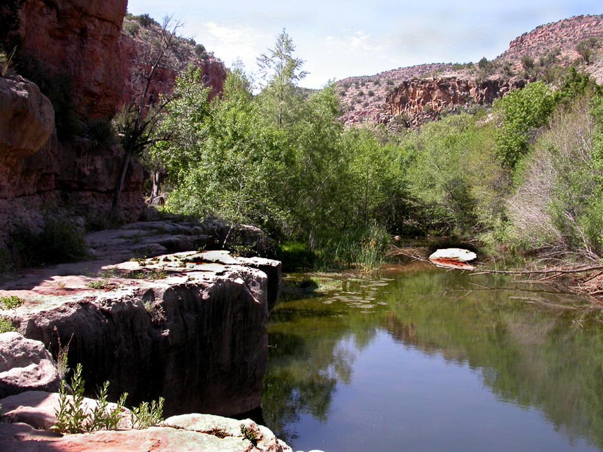
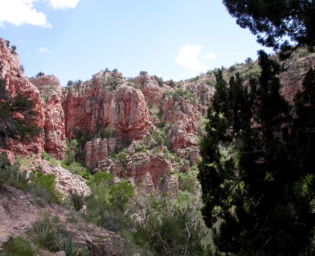
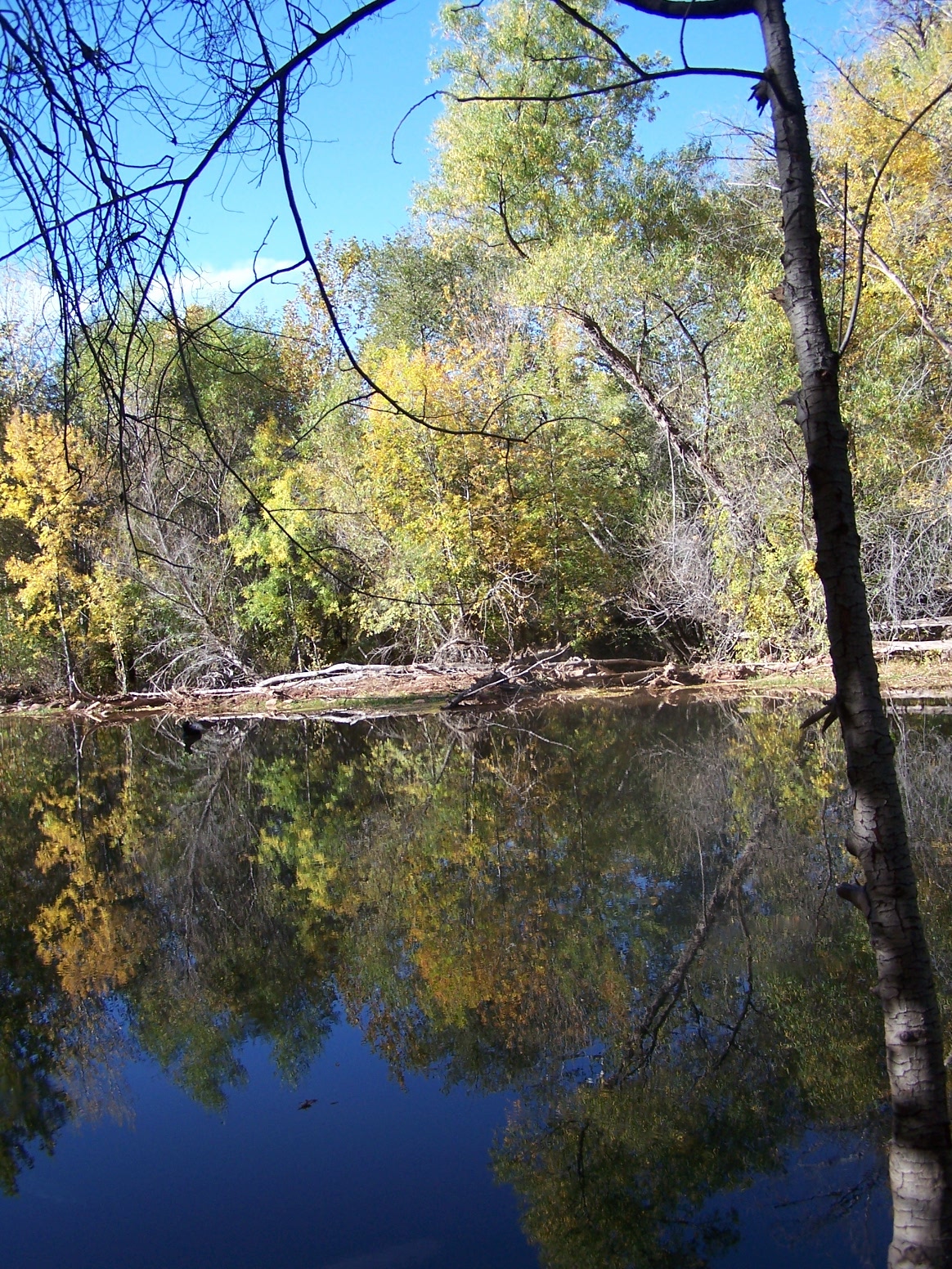
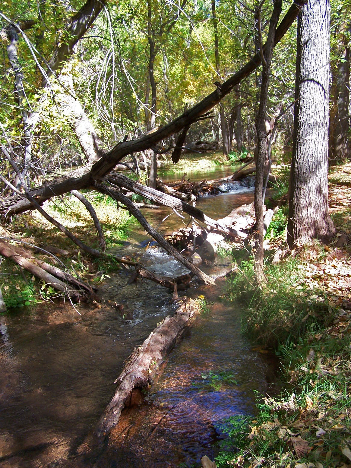
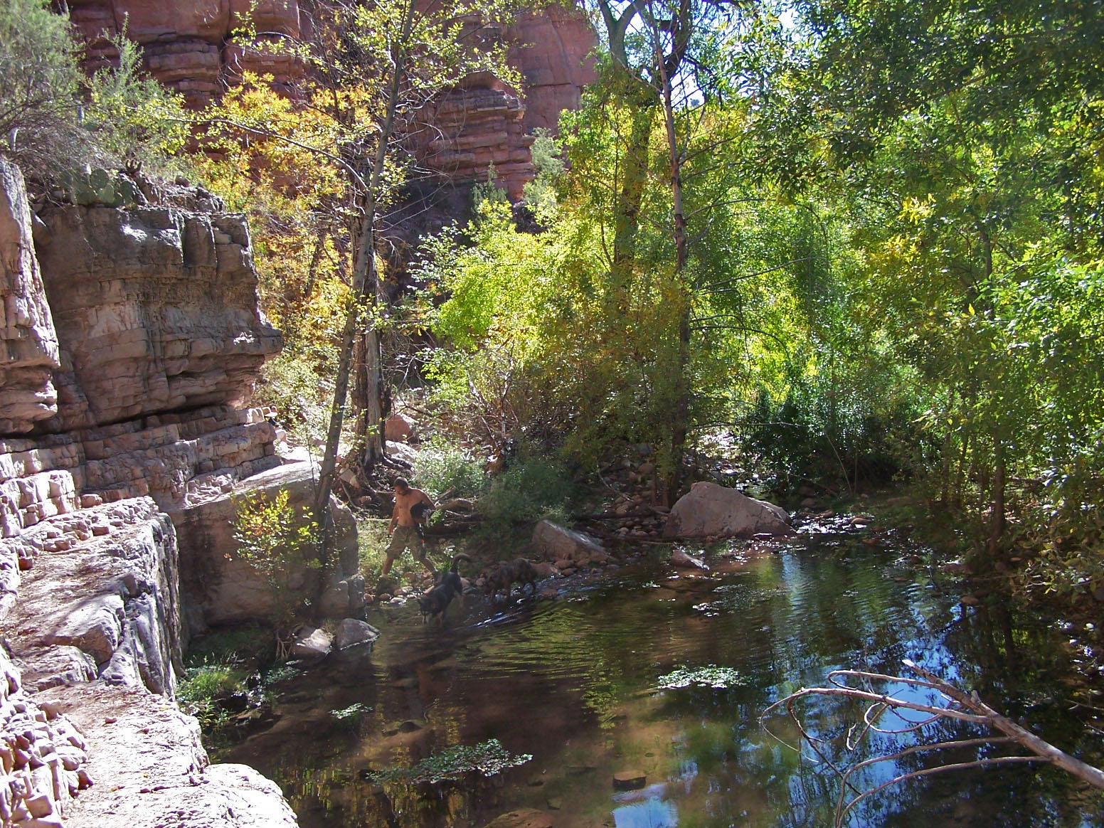
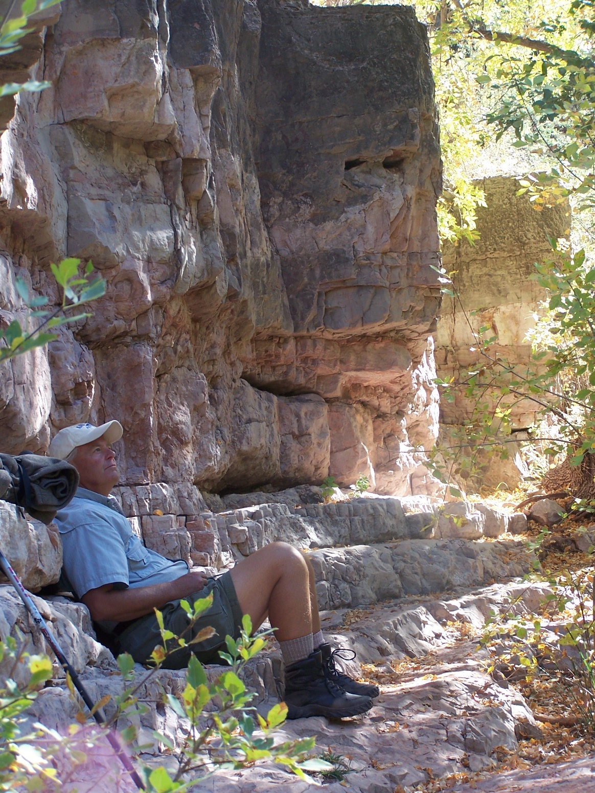
Description: This moderate 5 mile round trip trail, as the name implies, follows Sycamore Canyon and Sycamore Creek. The trailhead is about 8 miles up a gravel road which is accessed from the road to the Tuzigot National Monument near Clarkdale. We hiked it in early May and again in November. It appears that it would be a hot hike in the Summer. From the parking area you hike down to the creek and when you return you have to hike back up to the parking area.
Click on the photos below for a bigger view
For those of you who have a GPS unit, I have GPS data available for the hike which include "tracks," the route and waypoints.
Great Sedona Hikes
Last Updated March 31, 2021
Web Page by Bill Bohan (hikebook@greatsedonahikes.com)
send an email
with your comments/suggestions to Bill