
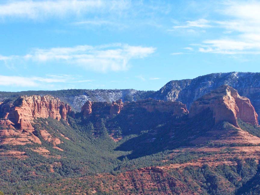
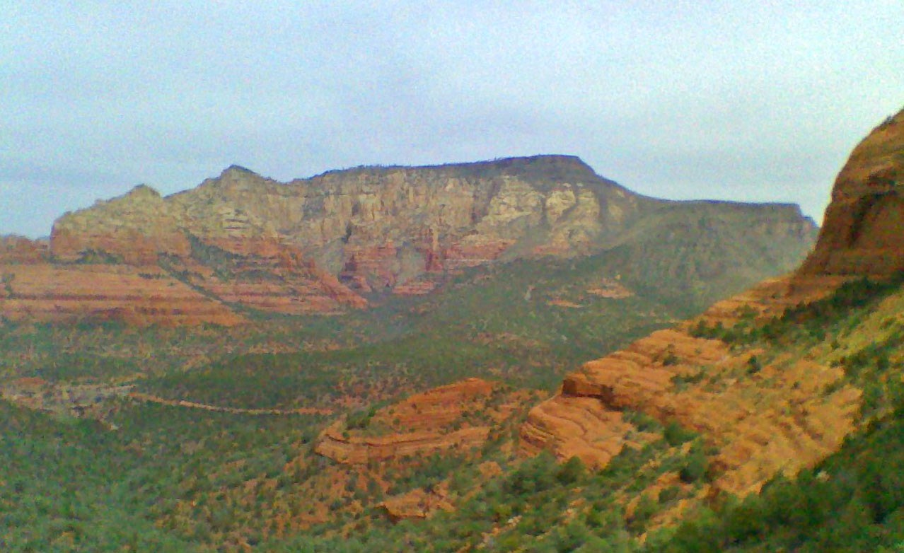
Summary: This hike goes to the top of Wilson Mountain, the highest mountain in the Sedona area.
Challenge Level: Hard
Hiking Distance: From the parking area to the top is about 5 miles
Trailhead Directions: Park at Midgley Bridge.
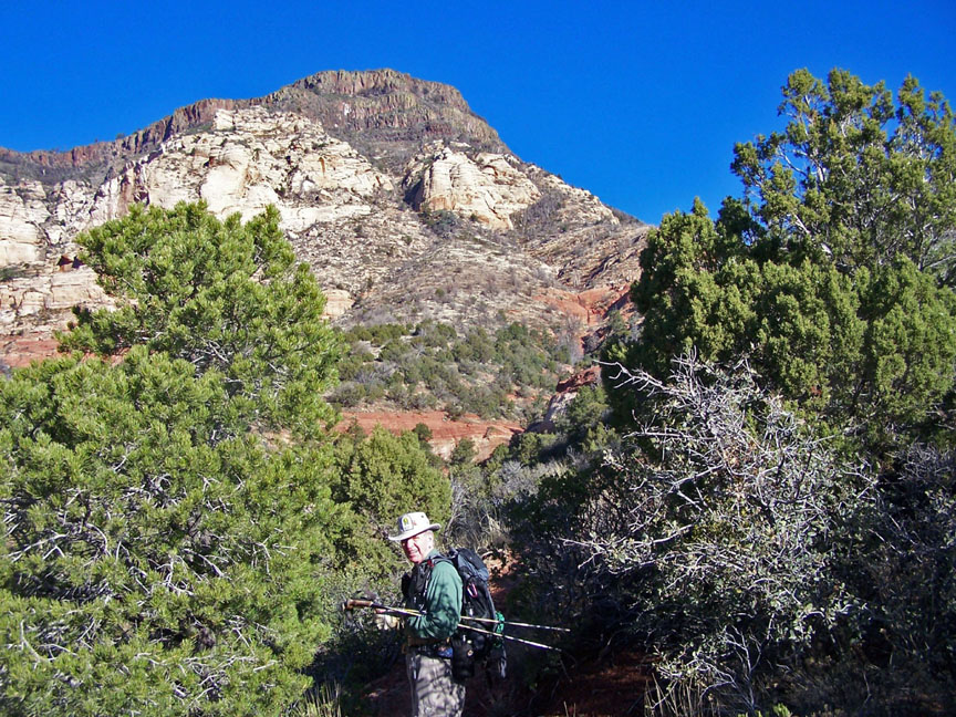
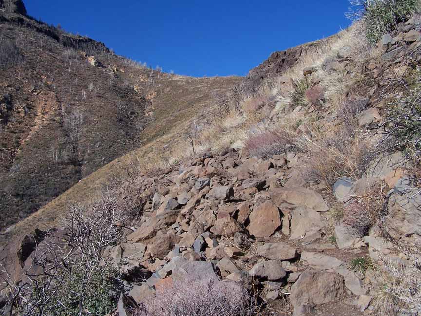
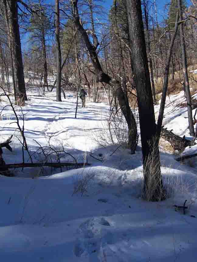
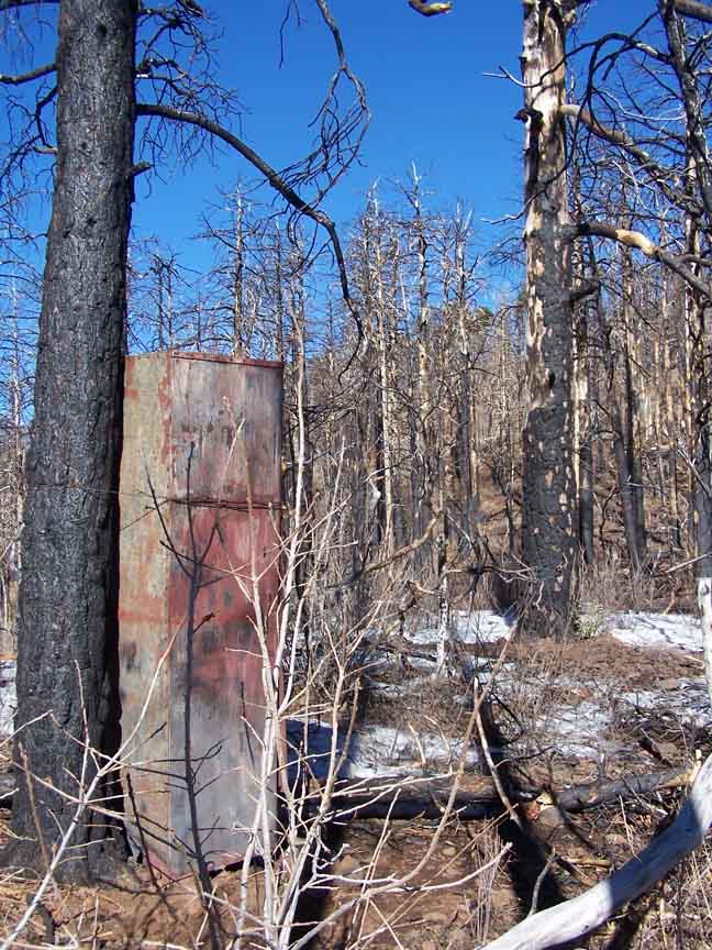
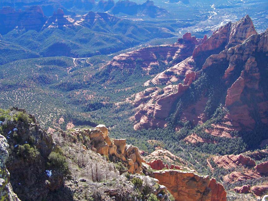
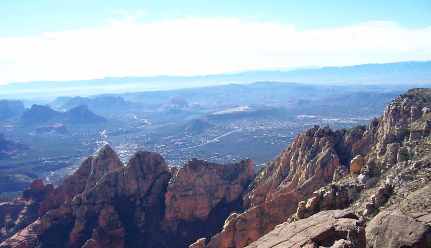
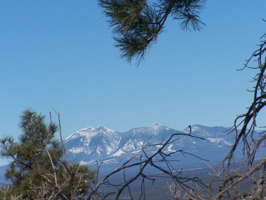
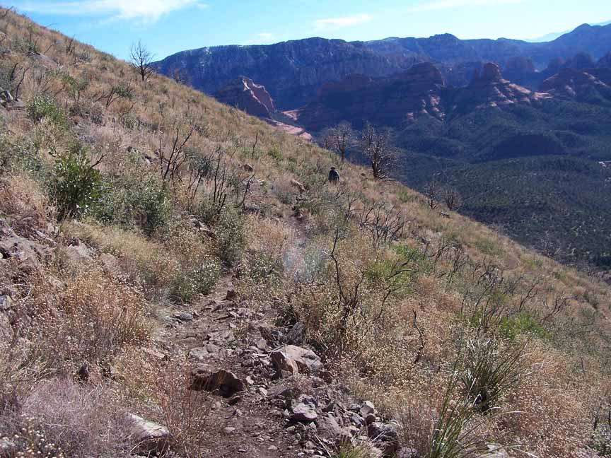
Description: We actually prefer the north trail. The south trail starts at Midgley Bridge and goes up a rocky trail 2.4 miles with a 1,600 ft elevation change to the "first bench", a long plateau running the length of the east side of the mountain. From there you go another 1.0 mile and 800 feet higher to the tool shed where fire tools are stored. From there you turn left/south. From a high point (7000+ft, the highest mountain in Sedona) you can see the San Francisco peaks to the north. Go another quarter mile to the edge for fantastic views overlooking Sedona.

For those of you who have a GPS unit, I have GPS data available for the hike which include "tracks," the route and waypoints.
Great Sedona Hikes
Last Updated:
March 31, 2021
Web Page by Bill Bohan (hikebook@greatsedonahikes.com)
send an email
with your comments/suggestions to Bill
Photos by Lou Camp