

NOTE: The following summary information is to help with hike selection and is not intended to be used for hiking the trail. For your safety and enjoyment, please obtain a copy of Sedona Hiking Guide which is available here.
Summary: A wonderful, picturesque hike along a flowing creek
Challenge Level: Moderate
Hiking Distance: About 5 - 7.2 miles round trip, depending how far you decide to hike
Trailhead Location: The parking area is 10+ miles north of Sedona off of SR 89A. The trail starts on the far side of the parking area, furthest away from the entrance.
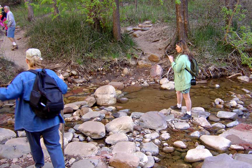
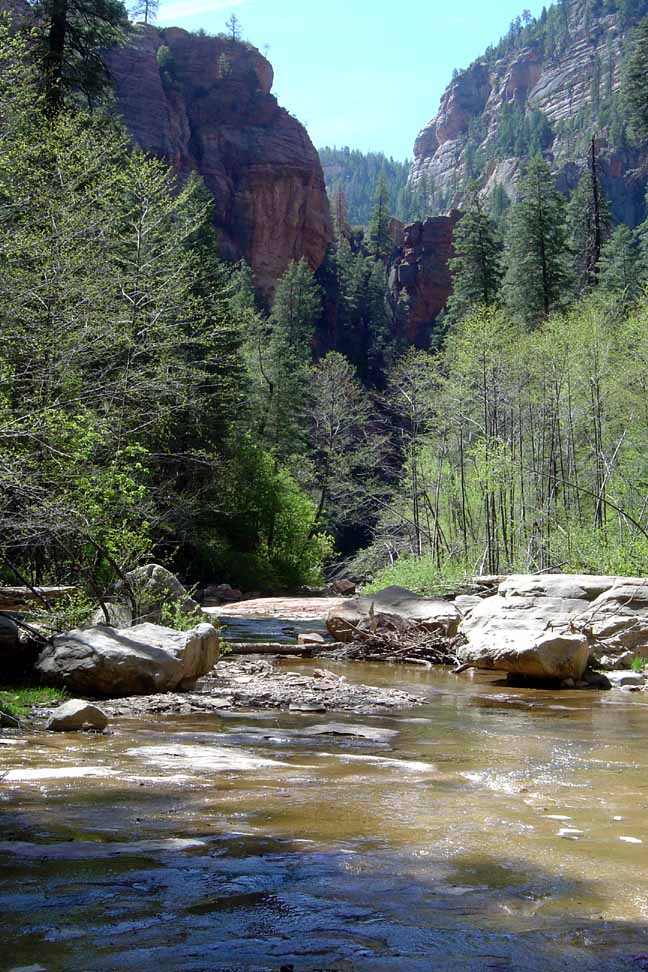
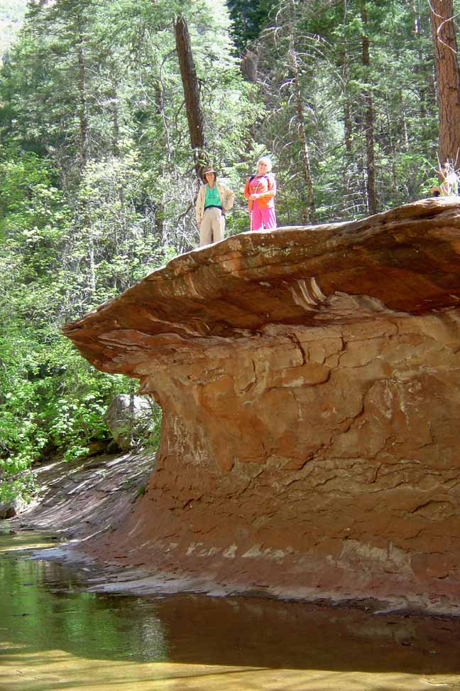
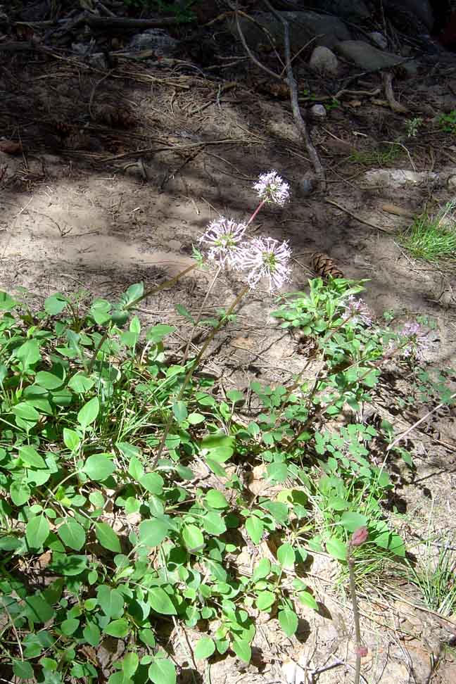
Description: The West Fork hike is one of our favorites. You'll pay $12 to park here. You'll be crossing the water about a dozen times (actually a total of 13 times if you hike to the end where you need to wade in the creek to continue, some 3.6 miles in from the parking area) as you hike the trail. You have to step from stone to stone to cross, so the hike isn't recommended in high water times (you'll get your feet wet!!). Because of the presence of water, there are many trees along the trail.
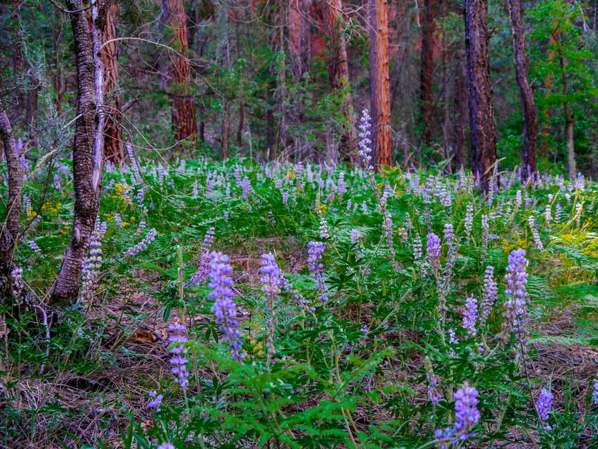
West Fork has two wonderful seasons, Spring and Fall. Here's a link to a typical Spring hike (http://youtu.be/CmpZBZ7rLEI)
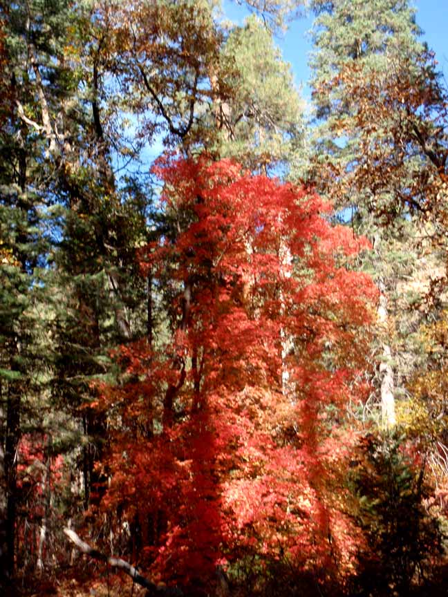
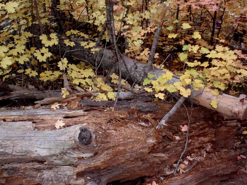
The most beautiful season is Fall, when the trees display glorious colors. The third week in October seems to be when the colors are at their peak. Here's a link to a video of one of our fall hikes (http://youtu.be/hxIPk2Zi6Ho).
Click on the photos below for a bigger view


For those of you who have a GPS unit, I have GPS data available for the hike which include "tracks," the route and waypoints.
Great Sedona Hikes
Last Updated June 19, 2023
Web Page by Bill Bohan (hikebook@greatsedonahikes.com)
send an email
with your comments/suggestions to Bill