NOTE: The following summary information is to help with hike selection and is not intended to be used for hiking the trail. For your safety and enjoyment, please obtain a copy of Sedona Hiking Guide which is available here.
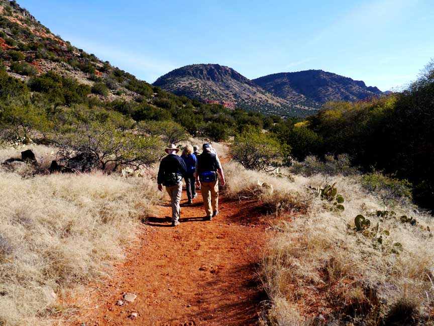
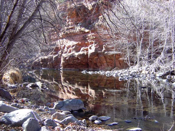
Summary: This relatively flat trail follows the path of Wet Beaver Creek
Challenge Level: Moderate
Hiking Distance: Just under 3 miles to the dam, round trip would be just under 6 miles.If you hike to the "Crack" (a local swimming hole), it's slightly over 7 miles round trip.
Trailhead Directions: The parking area is located off of FR 618.
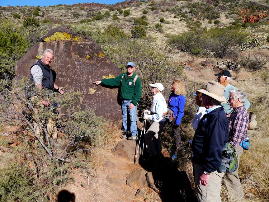
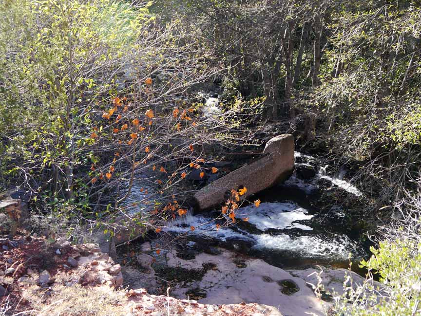
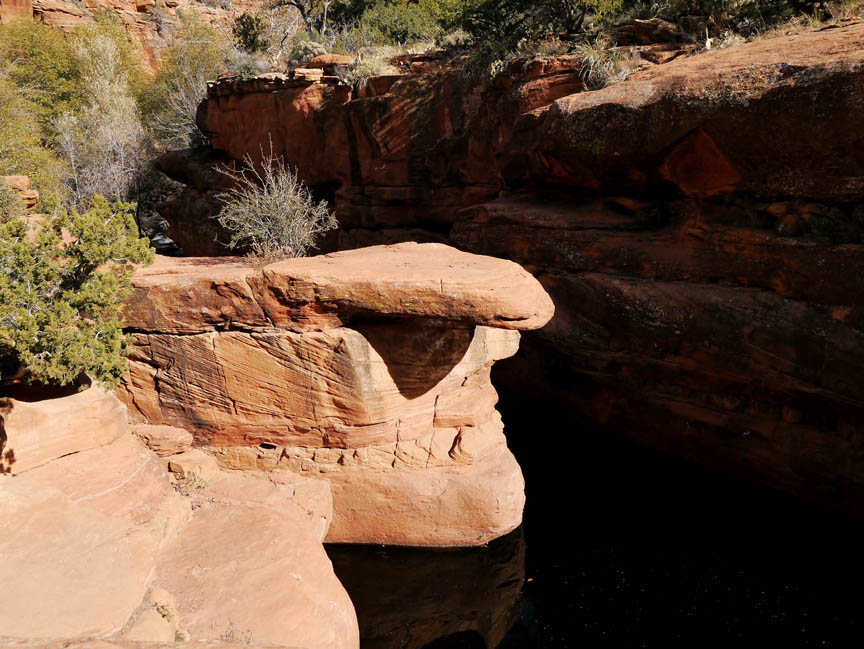
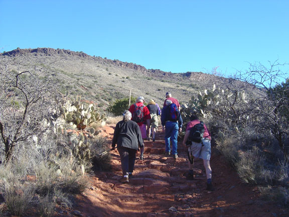
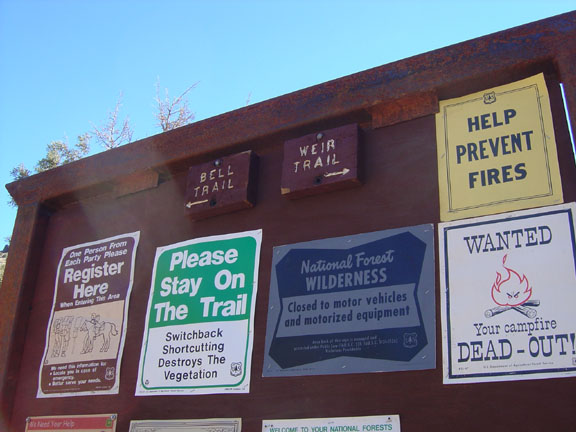
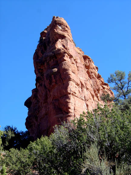
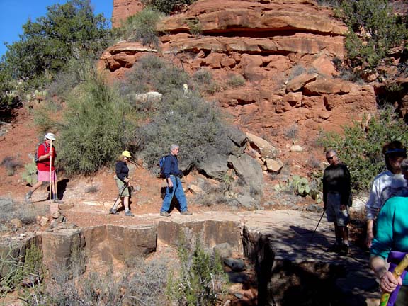
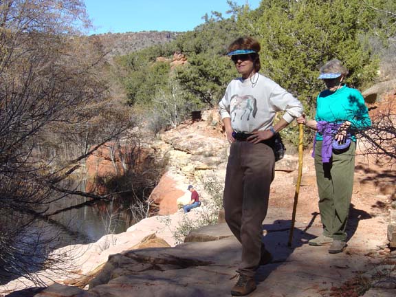
Description: The Bell Trail follows Wet Beaver Creek and provides high desert views. This can be a very hot hike in the Summer as there is no shade. You'll intersect the White Mesa Trail, the Apache Maid Trail and the Weir Trail. Follow the Weir Trail for 0.3 mile to the weir. The rock-strewn Bell trail goes on to the "Crack."
Here's a link to a video taken at the weir (http://youtu.be/ldWiMXBbobE).
And here's a video of our hike to the "Crack" (http://youtu.be/9Wj6V_F31N8)
Click on the photos for a larger view


For those of you who have a GPS unit, I have GPS data available for the hike which include "tracks," the route and waypoints.
Great Sedona Hikes
Last Updated March 31, 2021
Web Page by Bill Bohan (hikebook@greatsedonahikes.com)
send an email
with your comments/suggestions to Bill