

NOTE: The following summary information is to help with hike selection and is not intended to be used for hiking the trail. For your safety and enjoyment, please obtain a copy of Sedona Hiking Guide which is available here.
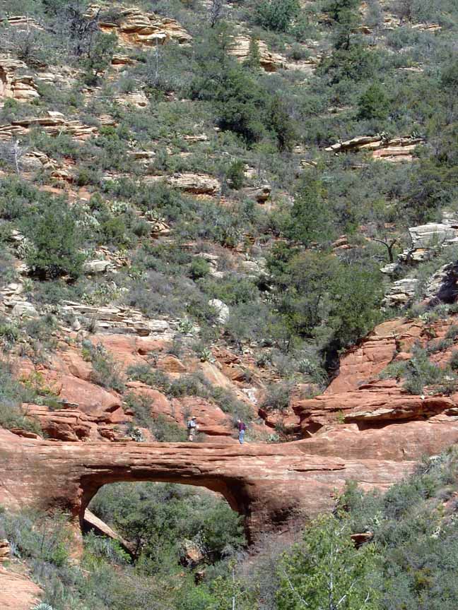
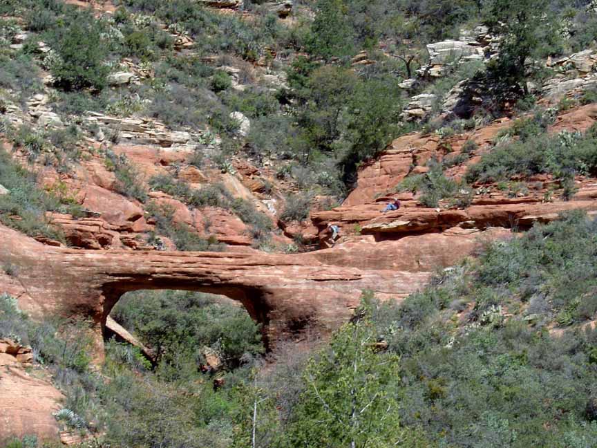
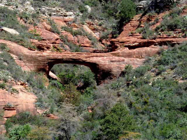
Summary: A hike to a natural red rock arch
Challenge Level: Moderate
Hiking Distance: About 1.6 miles one way to view the arch, another 0.3 to climb up on the arch
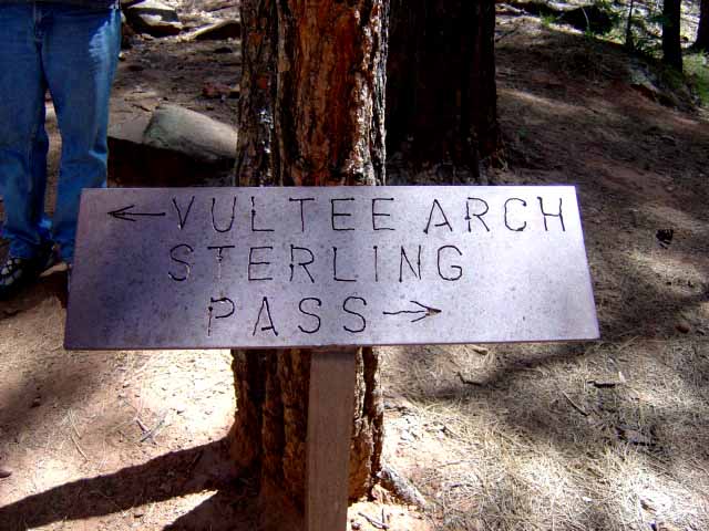
Trailhead Location: The parking area is located on FR 152. NOTE: FR 152 can be an extremely rough road and a high clearance vehicle is strongly recommended.
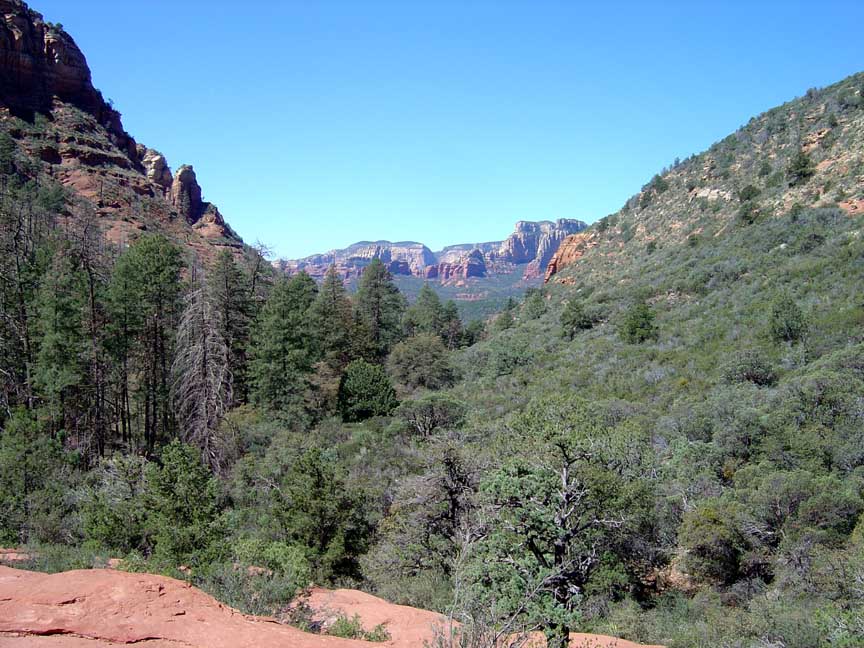
Description: This hike takes you to a natural arch. It is a relatively easy moderate hike to view the arch. It is a scramble to get to the arch so be careful if you attempt this. And the Forest Service reports that the arch is unstable so scramble up to the arch at your own risk.
Vultee Arch is named after Gerald and Sylvia Vultee who crashed their plane and died nearby in 1938. There is a plaque dedicated to them near the arch.
Here's a link to a video of the hike.


For those of you who have a GPS unit, I have GPS data available for the hike which include "tracks," the route and waypoints.
Great Sedona Hikes
Last Updated
March 31, 2021
Web Page by Bill Bohan (hikebook@greatsedonahikes.com)
send an email
with your comments/suggestions to Bill
