
NOTE: The following summary information is to help with hike selection and is not intended to be used for hiking the trail. For your safety and enjoyment, please obtain a copy of Sedona Hiking Guide which is available here.
Summary: An in-town hike with nice red rock views
Challenge Level: Moderate
Hiking Distance: About 3.3 miles round trip
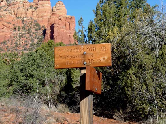
Trailhead Location: The parking area is located on Buena Vista. This is the same parking area as the Teacup Trail and the Coffeepot Trail.
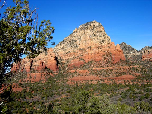
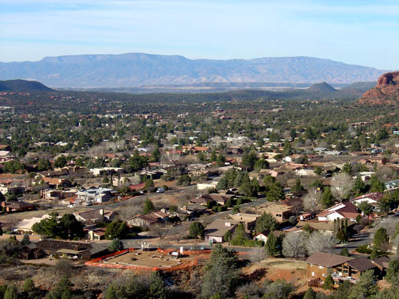
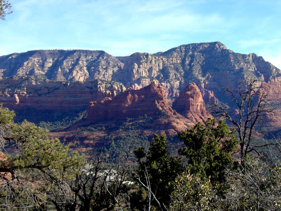
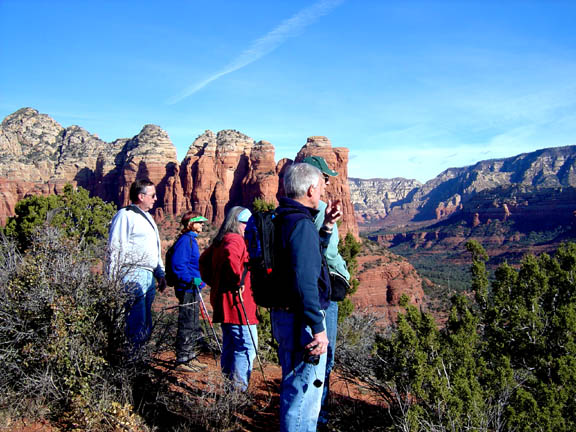
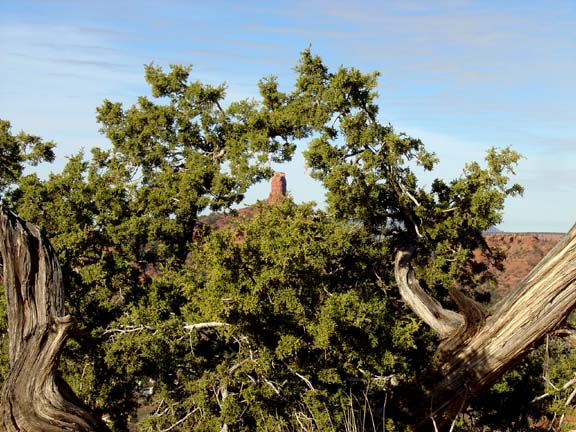
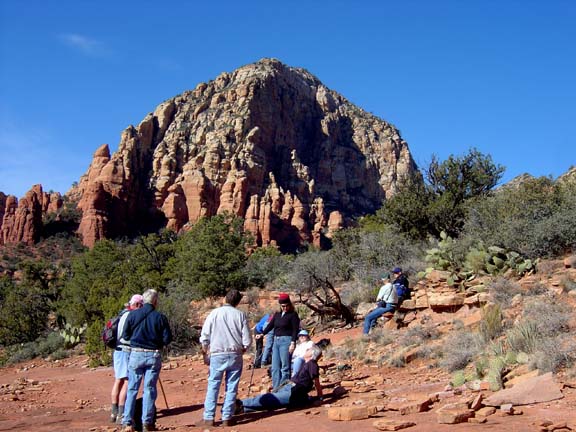
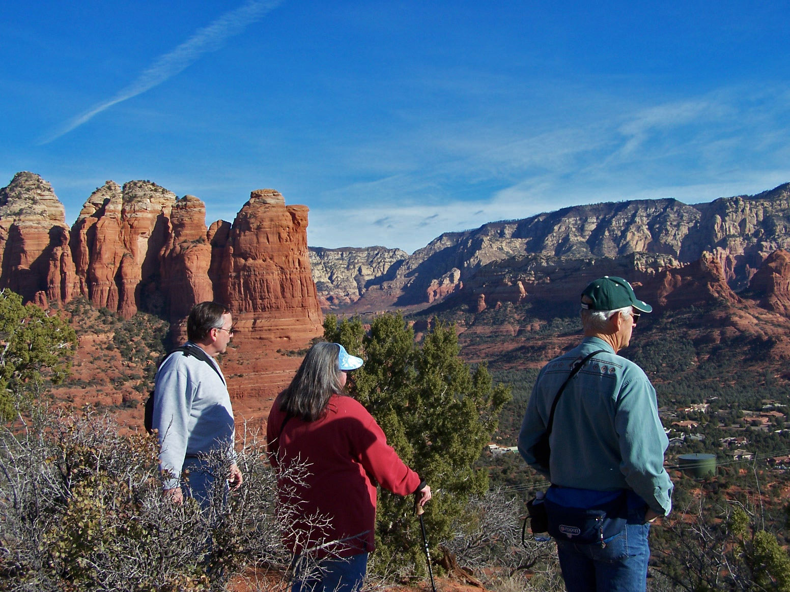
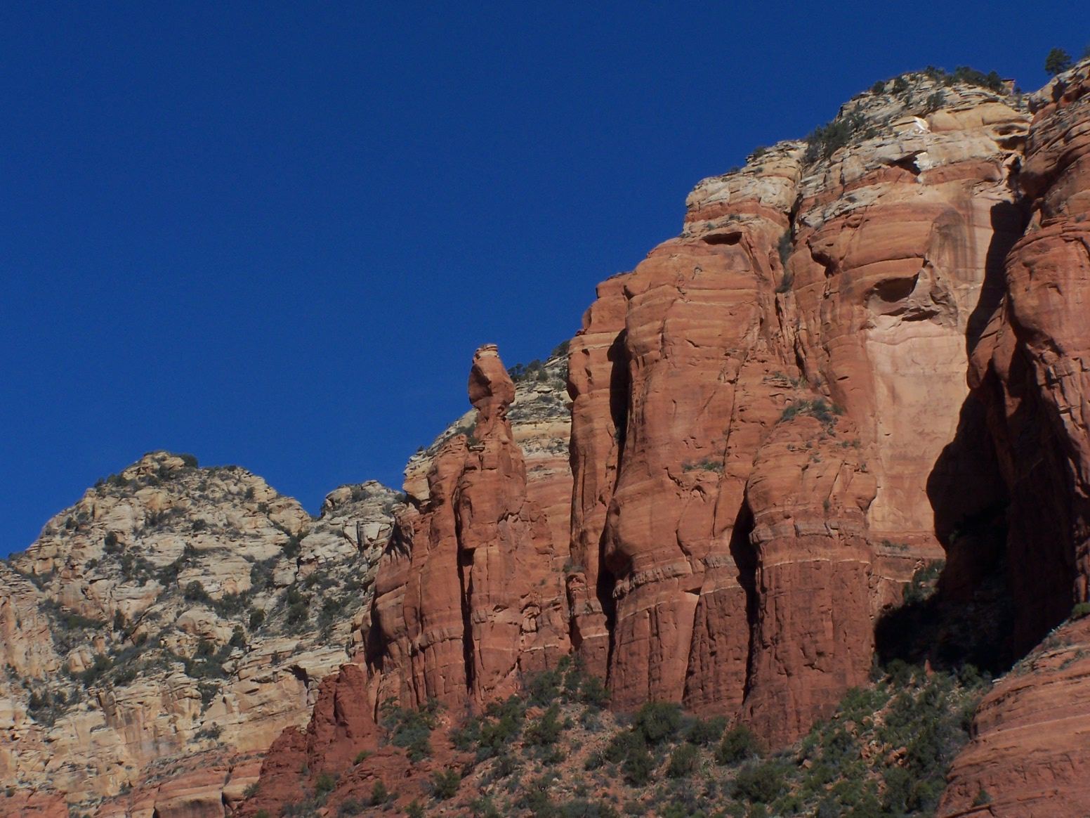
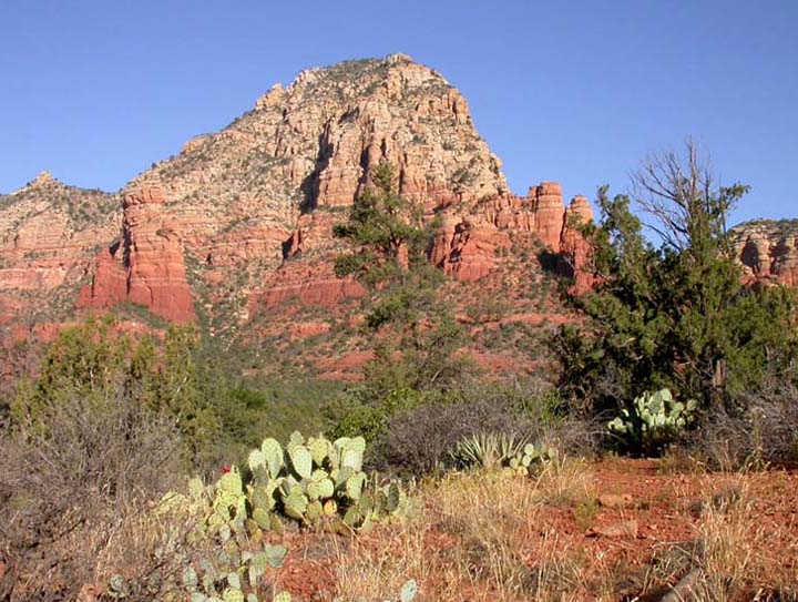
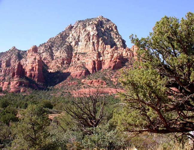
Description: This hike takes you to the top of the Sugarloaf rock formation for view of the development below, then on the Coffee Pot trail you get up close to the Coffee Pot rock formation. Because it's an in town hike you'll see the roofs of homes while you hike. But the views of Coffeepot Rock and Thunder Mountain are worth it.
Here's a link to a video of the hike (http://youtu.be/B9icwmcfbWo).


For those of you who have a GPS unit, I have GPS data available for the hike which include "tracks," the route and waypoints.
Great Sedona Hikes
Last Updated March 31, 2021
Web Page by Bill Bohan (hikebook@greatsedonahikes.com)
send an email
with your comments/suggestions to Bill