NOTE: The following summary information is to help with hike selection and is not intended to be used for hiking the trail. For your safety and enjoyment, please obtain a copy of Sedona Hiking Guide which is available here.
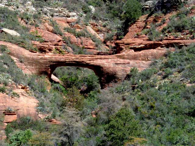
Summary: A hike up the west side of Oak Creek Canyon connecting to Vultee Arch
Challenge Level: Hard
Hiking Distance: About 3 miles from the Sterling Pass parking area to the Vultee Arch parking area
Trailhead Location: The parking area is a wide spot on SR 89A just north of the Manzanita Campground.
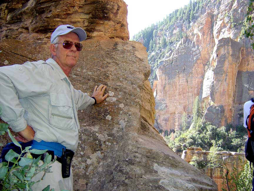
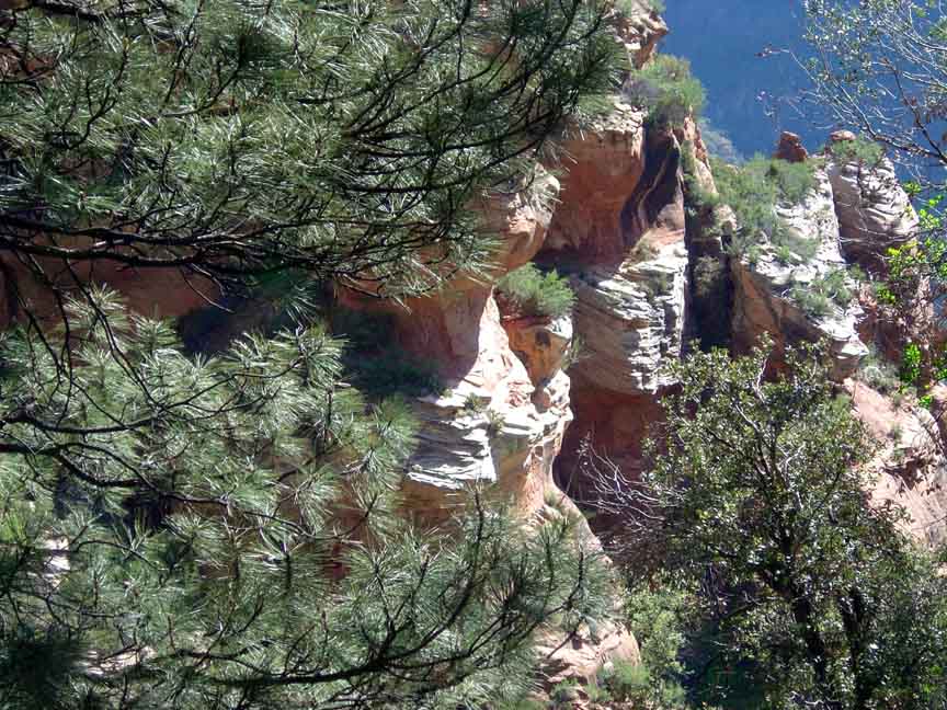
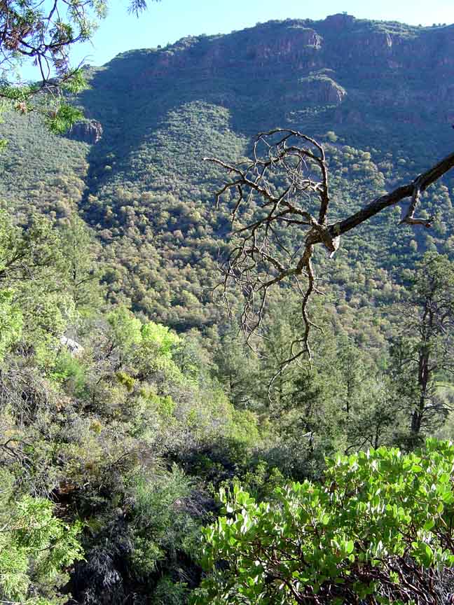
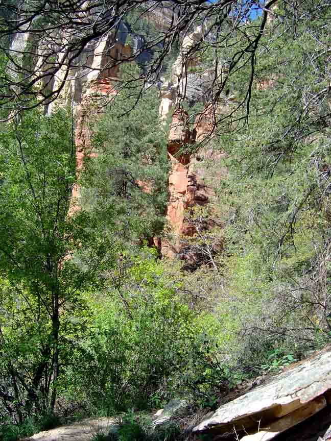
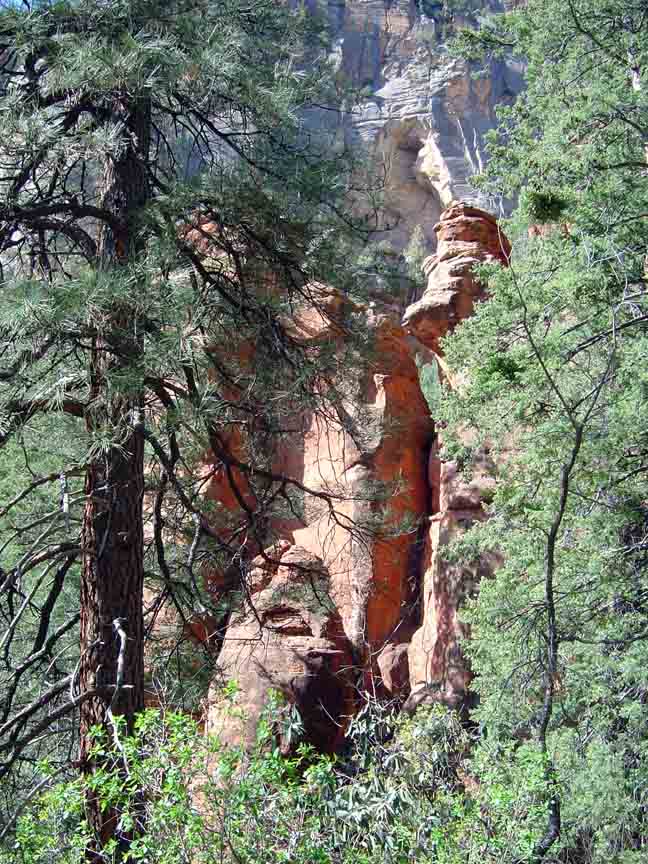
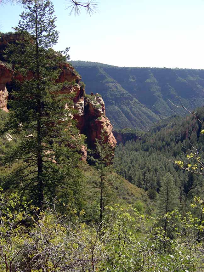
Description: The parking along SR 89A isn't the best as there is no official parking area. You'll need to find a place where you can park near the trailhead. The trail is steep and you'll climb about 1100 feet to a saddle. Some of the views are obstructed by the dense trees but you will find areas with good views. After you reach the saddle the trail starts down. About 1 1/2 miles in you'll come to the sign for Vultee Arch, which is about 1/4 mile away.

For those of you who have a GPS unit, I have GPS data available for the hike which include "tracks," the route and waypoints.
Great Sedona Hikes
Last Updated
March 31, 2021
Web Page by Bill Bohan (hikebook@greatsedonahikes.com)
send an email
with your comments/suggestions to Bill