NOTE: The following summary information is to help with hike selection and is not intended to be used for hiking the trail. For your safety and enjoyment, please obtain a copy of Sedona Hiking Guide which is available here.
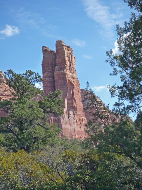
Summary: A hike to a very distinctive rock formation. The trail was revised in April 2021.
Challenge Level: Moderate
Hiking Distance: About 5 miles round trip, but depends on which trailhead you use
Trailhead Location: There are several trailheads for this hike: The Big Park Loop Trail accessed from the Bell Rock Vista parking area and Jack's Canyon Road
Description: The Rabbit Ears formation is near the Village of Oak Creek. It's a moderate hike that takes you to some very scenic areas. We hiked a loop which is best done with a portable GPS unit.
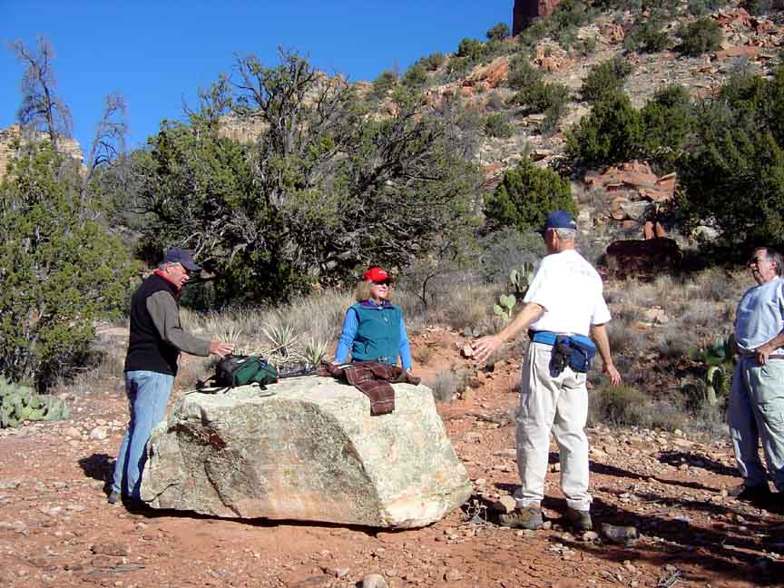
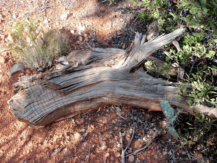
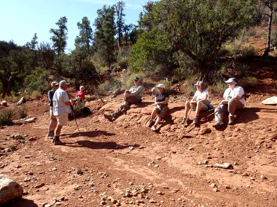
Photos:
For those of you who have a GPS unit, I have
GPS data available for the hike which include
the new track, the new route and new waypoints.
Great Sedona Hikes
Click on the photos below for a bigger view


Last Updated May 14, 2021
Web Page by Bill Bohan (hikebook@greatsedonahikes.com)
send an email
with your comments/suggestions to Bill