


NOTE: The following summary information is to help with hike selection and is not intended to be used for hiking the trail. For your safety and enjoyment, please obtain a copy of Sedona Hiking Guide which is available here.
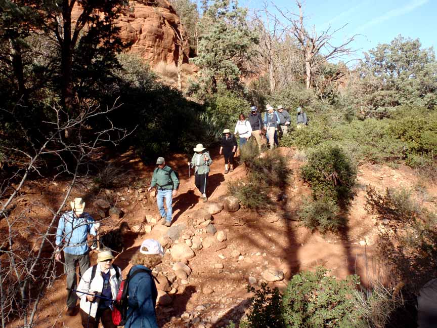
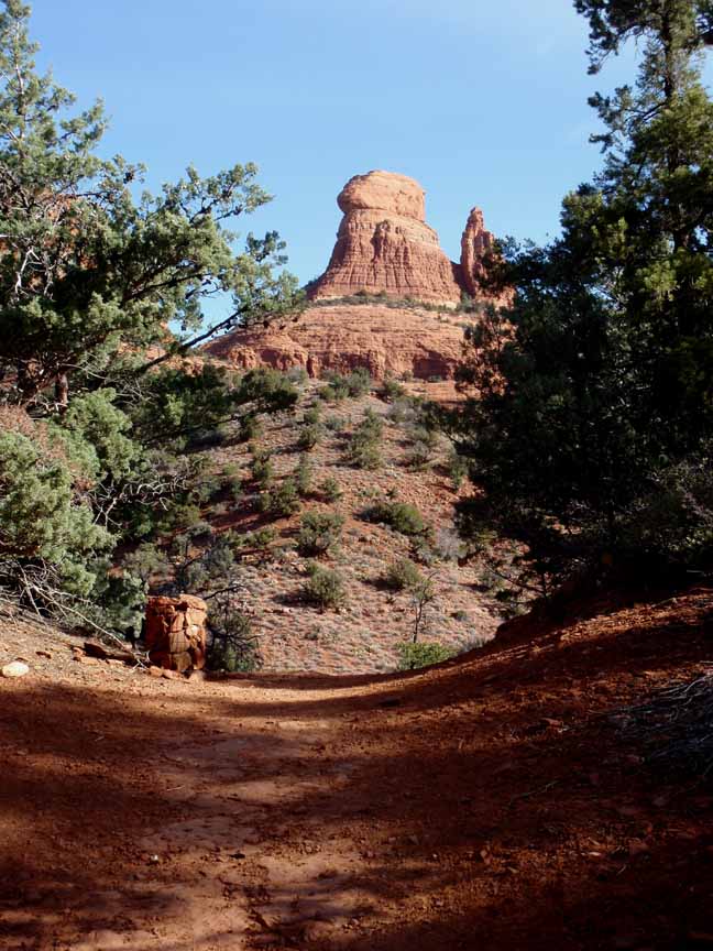
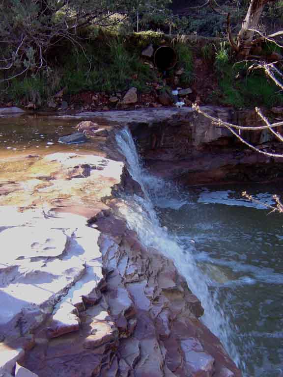
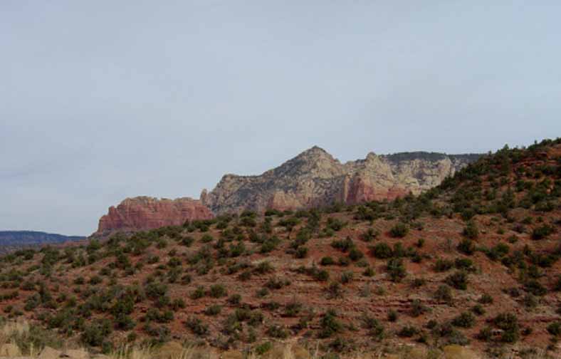
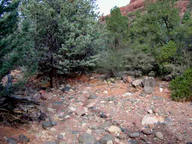
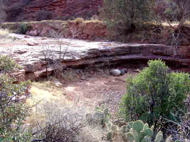
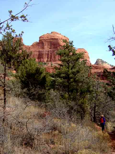
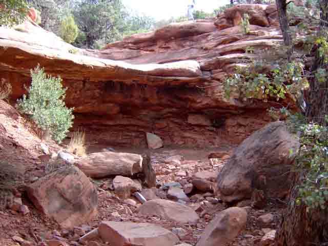
Summary: A hike following an old wagon road and Bear Wallow (streambed) parallel to Schnebly Hill Road
Challenge Level: Moderate
Hiking Distance: About 2 1/2 miles each way, 5 miles round trip
Trailhead Locaion: The parking area is located on Schnebly Hill Road. The trailhead parking is shared with the Huckaby Trail.
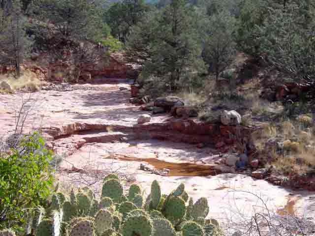
Description: This hike follows an old wagon trail along Schnebly Hill Road. We have hiked the trail 2.5 miles each way several times. It is much prettier when there is water flowing from snow runoff. The trail goes slightly to the south of the Cowpies Trail parking area.
Here's a link to a video of our hike (http://youtu.be/GTimVl3afB0)


For those of you who have a GPS unit, I have GPS data available for the hike which include "tracks," the route and waypoints.
Great Sedona Hikes
Last Updated March 31, 2021
Web Page by Bill Bohan (hikebook@greatsedonahikes.com)
send an email
with your comments/suggestions to Bill