

NOTE: The following summary information is to help with hike selection and is not intended to be used for hiking the trail. For your safety and enjoyment, please obtain a copy of Sedona Hiking Guide which is available here.
Summary: A wonderful hike to Chicken Point
Challenge Level: Moderate
Hiking Distance: About 2 miles each way to Chicken Point (4 miles round trip); 4 miles one way to the north end of the Broken Arrow Trail
Trailhead Location: The parking area is located on SR 179, south of Sedona.
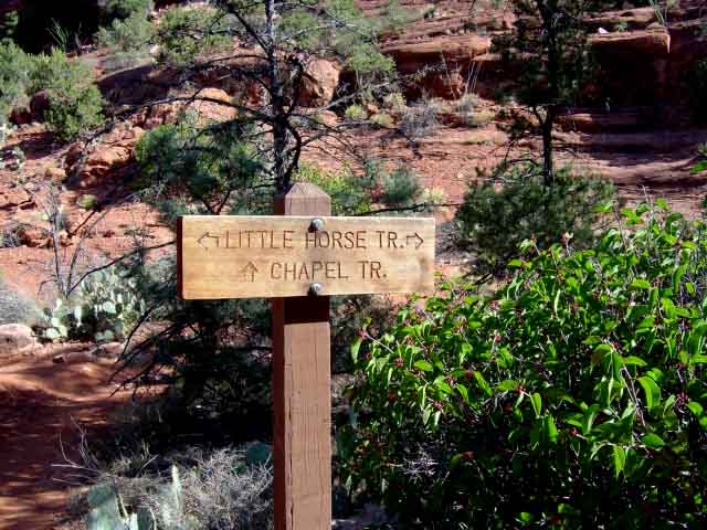
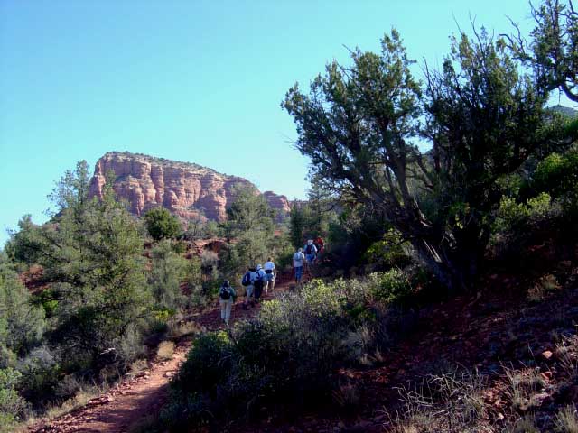
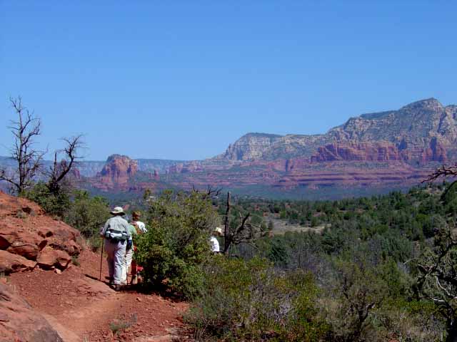
Description: You start by hiking along the Bell Rock Pathway Trail heading south. At 0.3 miles you'll turn left on the Little Horse Trail. It's about 2 miles to Chicken Point.
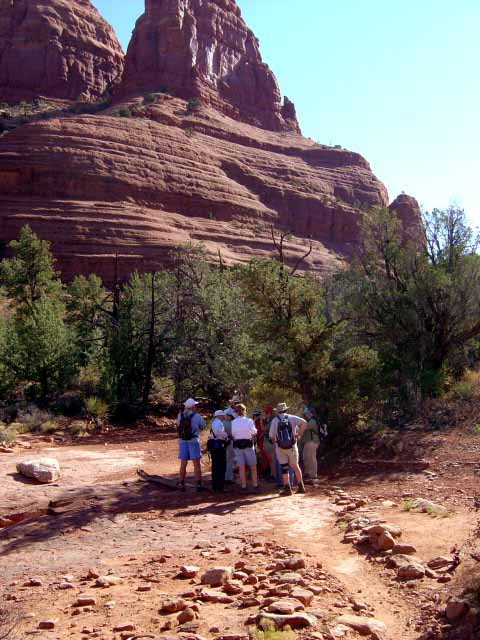
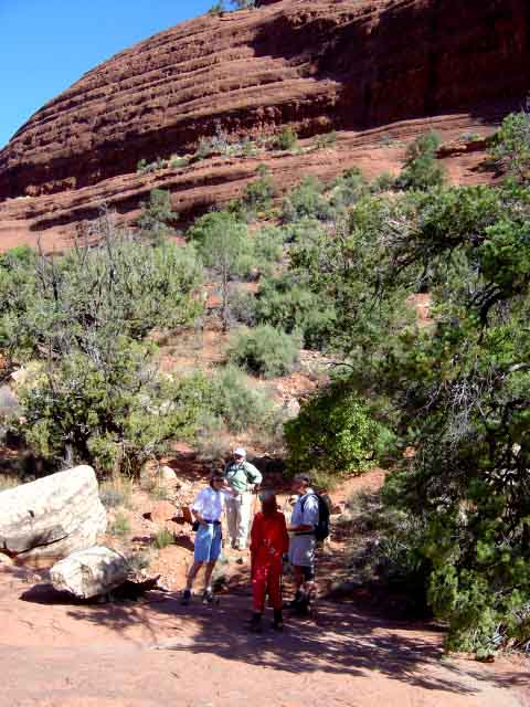
From Chicken Point, you can continue on the Broken Arrow Trail. We have done this hike as a two car hike, parking one car at the Broken Arrow Trail Head off of Morgan Road and parking the other at the Little Horse Trailhead noted above. Excellent red rock views as you hike past Chicken Point, Submarine Rock and the Devil's Dining Room. At Chicken Point and Submarine Rock you'll likely encounter some Pink Jeeps as these are stops on their Broken Arrow Tour. There isn't much shade on this hike so if you hike in the Summer, take extra water.
Here's a link to a video of the Little Horse Trail to Chicken Point (http://youtu.be/XkDxq0WuX30)


For those of you who have a GPS unit, I have GPS data available for the hike which include "tracks," the route and waypoints.
Great Sedona Hikes
Last Updated March 31, 2021
Web Page by Bill Bohan (hikebook@greatsedonahikes.com)
send an email
with your comments/suggestions to Bill