

Summary: A pleasant hike up near the Snowbowl Ski Area north of Flagstaff, AZ
Challenge Level: This can be a difficult or moderate hike depending on which traihead you start at, and how far you hike. I recommend it as a moderate hike
Hiking Distance: Up to 6 miles one way if you hike using two vehicles. If you only have one vehicle, I recommend an in-out hike of 2 -3 miles one way, 4 or 6 miles in-out beginning at the east trailhead.
Trailhead Directions: There are two trailheads for this hike. Drive to Flagstaff, go northwest on SR 180 to Snowbowl Road and turn right. The west trailhead is located 6.6 miles up Snowbowl Road on the right. If you hike from this trailhead you'll be hiking downhill going in, then uphill coming out.
The east trailhead is located on a Forest Road off of Snowbowl Road. Drive north on Snowbowl Road for 2.4 miles and turn right on FR 522. Drive for 4.2 miles to the end of the road. You'll be driving on a very rough dirt road through a large dispersed campground. Park at the end of the road and look for the sign to the trail (see photo below). You'll walk up an old road for 0.4 mile to the beginning of the Kachina Trail.
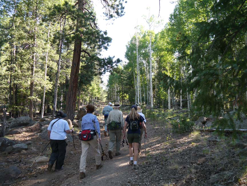
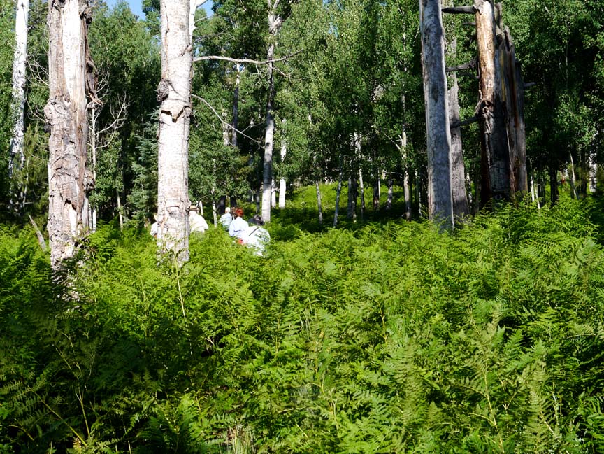
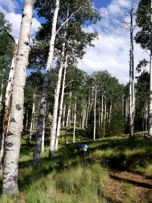
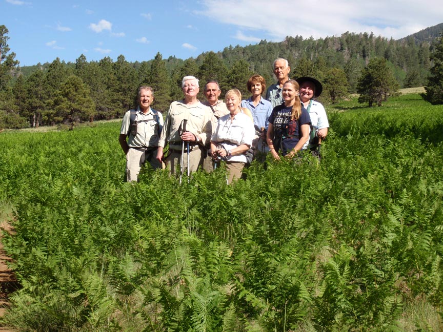
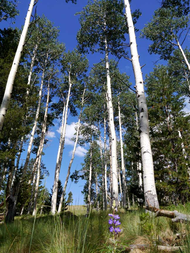
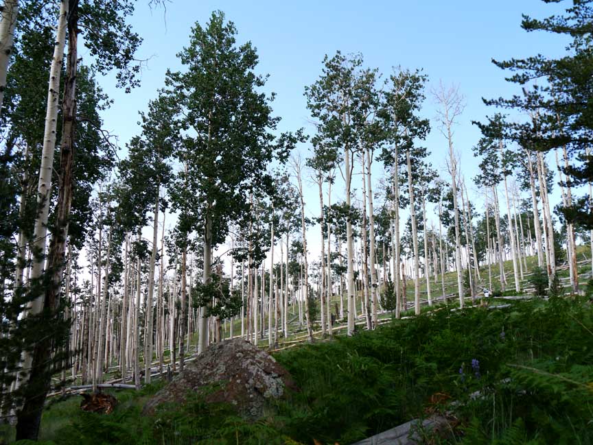
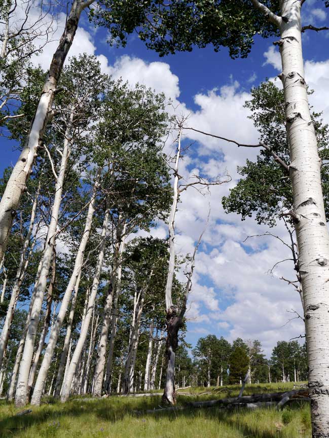
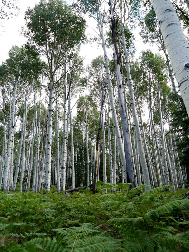
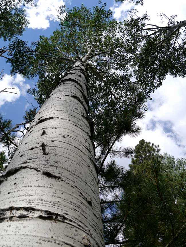
Description: When it's warm in Sedona, we like to hike in the high country. The Kachina Trail is a favorite because the altitude of 8900 - 9300 feet makes for a cool hike. The trail is easily followed although there aren't any cairns to mark the way. You'll cross large fields of tall ferns in the summer and enjoy the shade provided by the Pinion Pines and Aspens.

For those of you who have a GPS unit, I have GPS data available for the hike which include "tracks," the route and waypoints.
Great Sedona Hikes
Last Updated March 31, 2021
Web Page by Bill Bohan (hikebook@greatsedonahikes.com)
send an email
with your comments/suggestions to Bill