


NOTE: The following summary information is to help with hike selection and is not intended to be used for hiking the trail. For your safety and enjoyment, please obtain a copy of Sedona Hiking Guide which is available here.
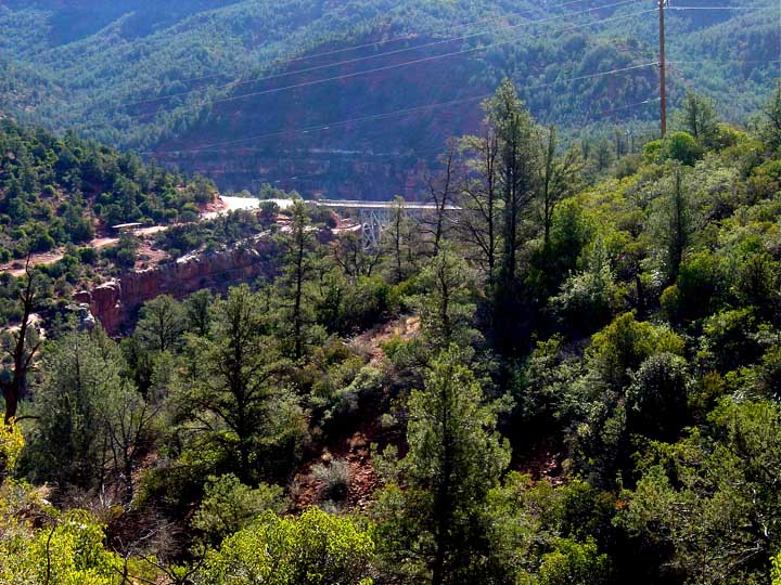
Summary: The hike provides nice views of Steamboat Rock and of Midgley Bridge.
Challenge Level: Moderate
Hiking Distance: About 2 1/2 miles each way, 5 miles round trip
Trailhead Location: The parking area is located north of the Jordan Park Subdivision.
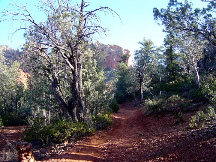
Description: You'll be hiking northeast for a short distance, then turn south. After about 0.2 miles, you'll turn and hike in a westerly direction, and pass near Steamboat Rock. The views begin about 0.6 miles in to the hike. We ususlly stop after about 2 1/2 miles for a nice view of the Midgley Bridge, although you'll be facing the sun as you try to take a photo. If you continue on, you'll intersect the Wilson Canyon Trail after another 1/2 mile.
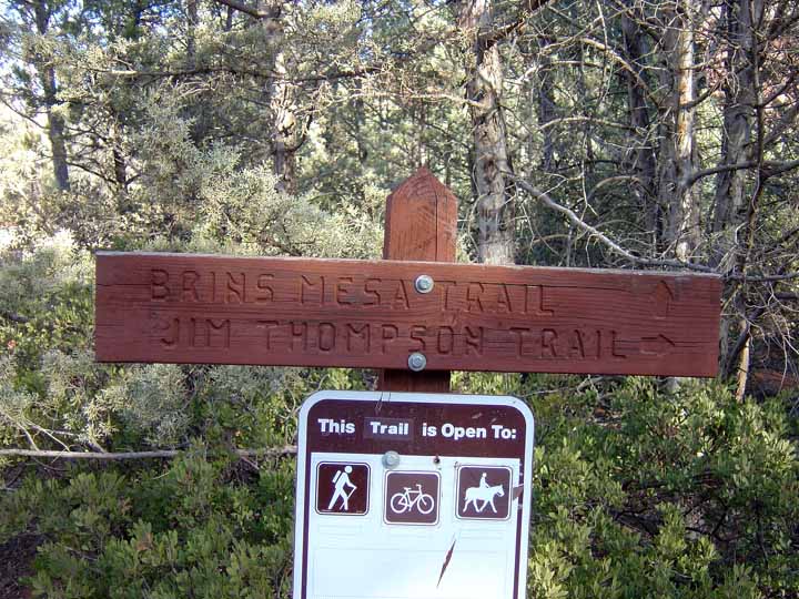
Here's a link to a hike on the Jim Thompson Trail (http://youtu.be/_ULtSpItSRk)
Click on the photos below for a bigger view


For those of you who have a GPS unit, I have GPS data available for the hike which include "tracks," the route and waypoints.
Great Sedona Hikes
Last Updated March 31, 2021
Web Page by Bill Bohan (hikebook@greatsedonahikes.com)
send an email
with your comments/suggestions to Bill