

NOTE: The following summary information is to help with hike selection and is not intended to be used for hiking the trail. For your safety and enjoyment, please obtain a copy of Sedona Hiking Guide which is available here.
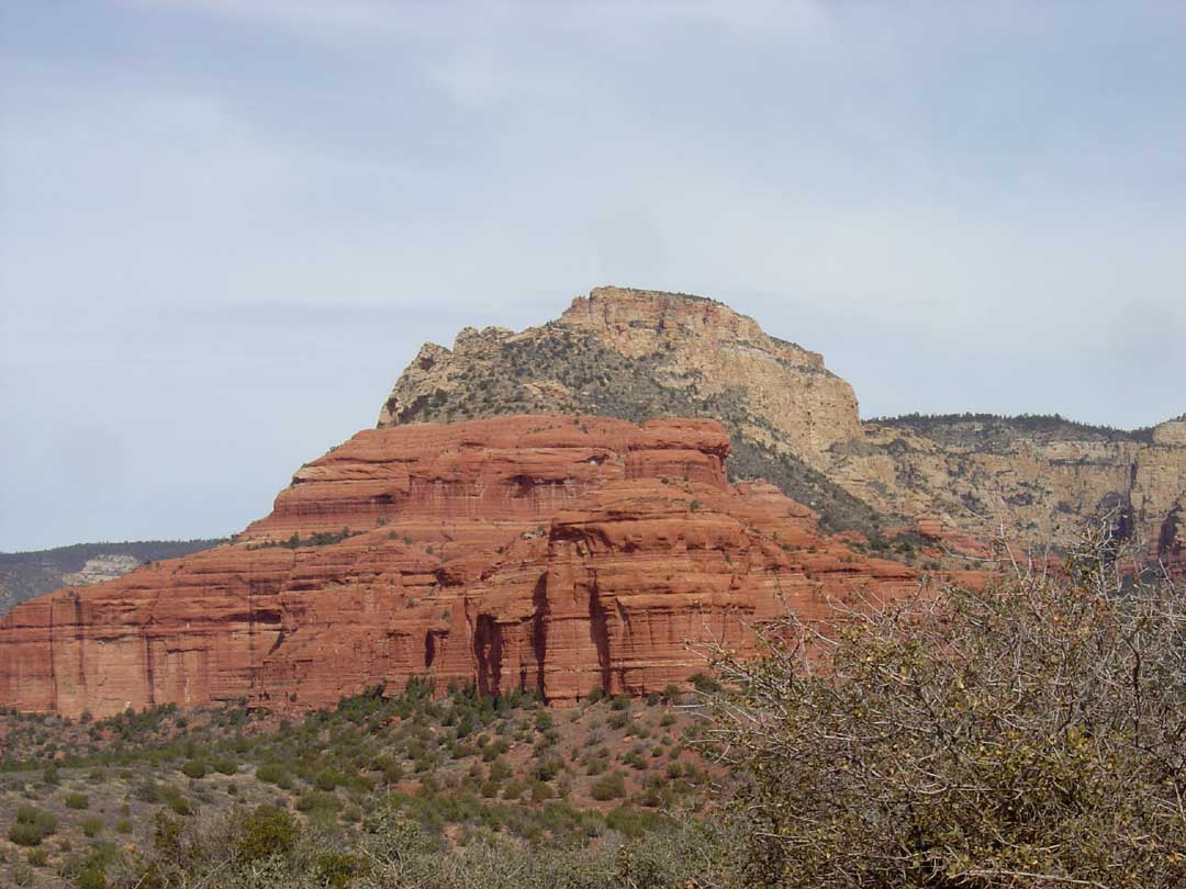
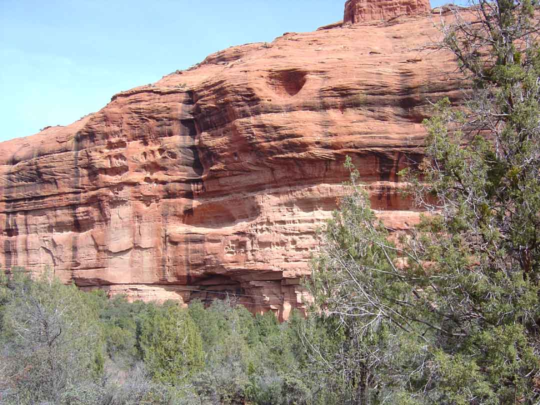
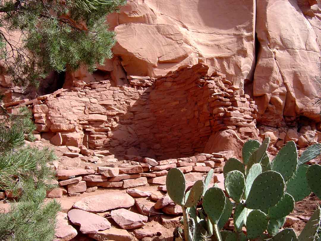
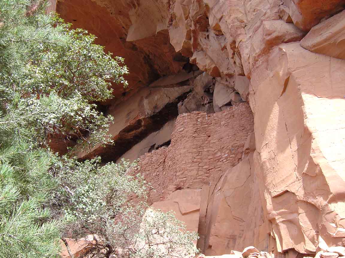
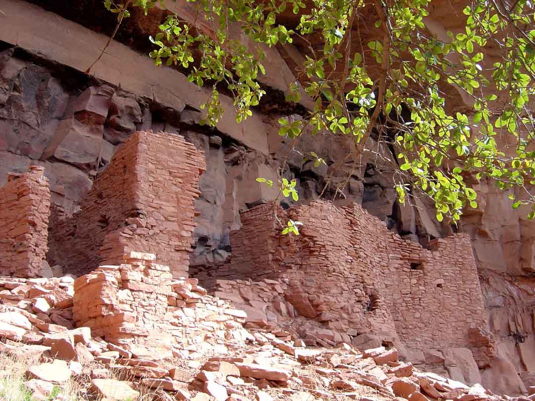
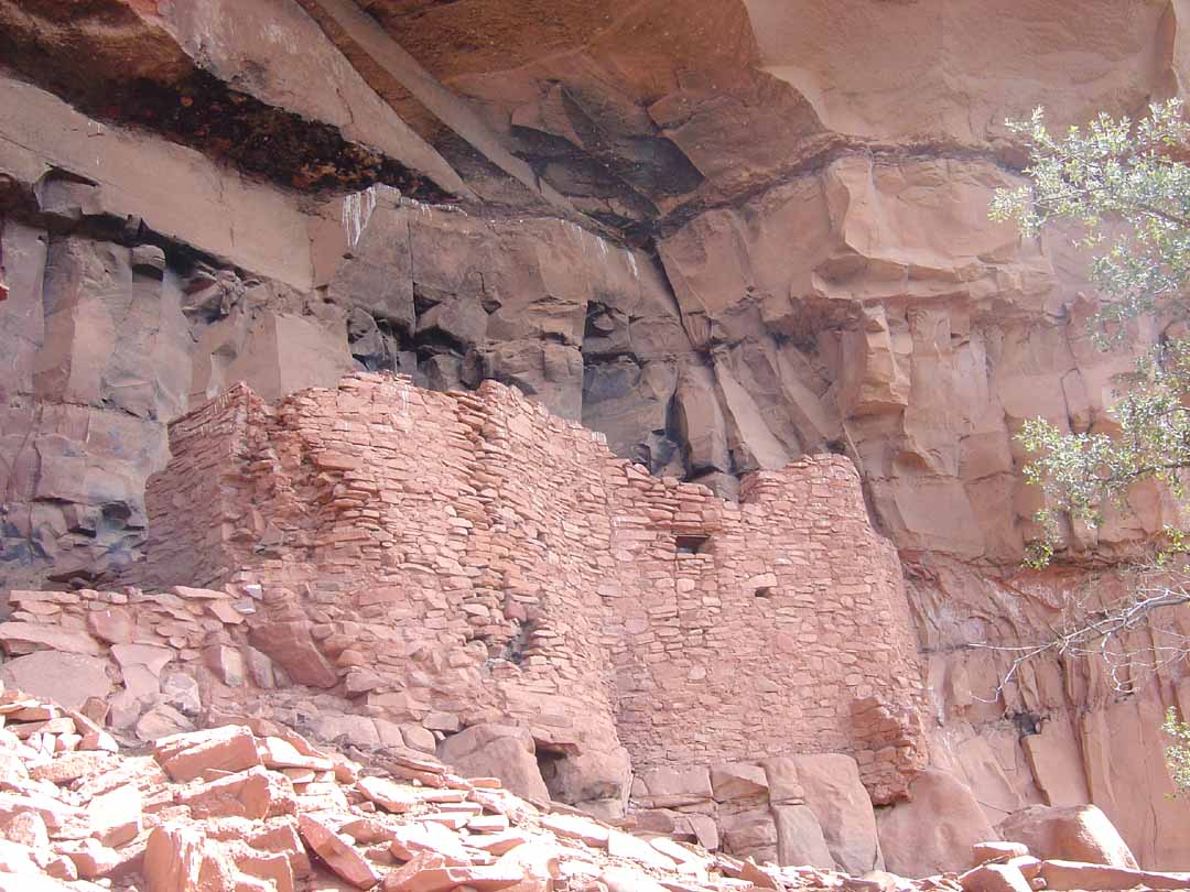
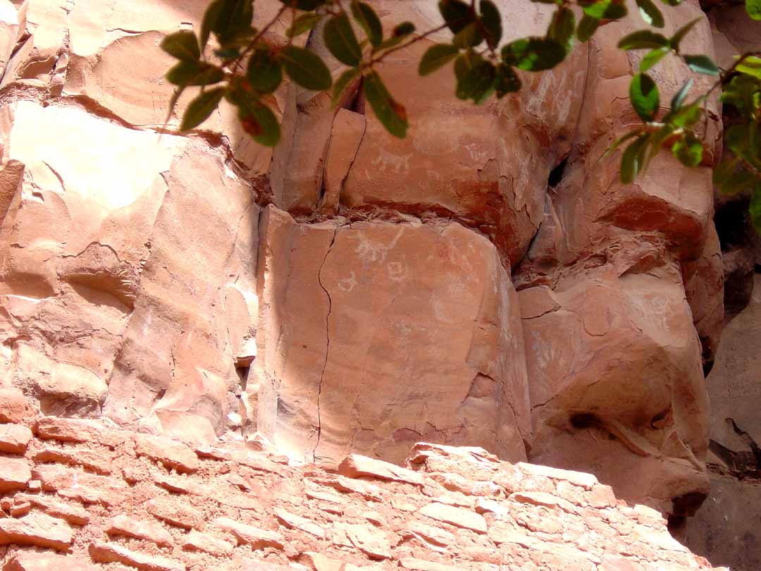
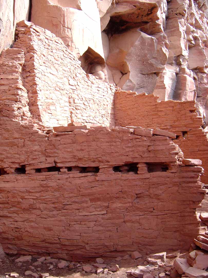
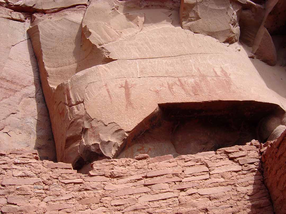
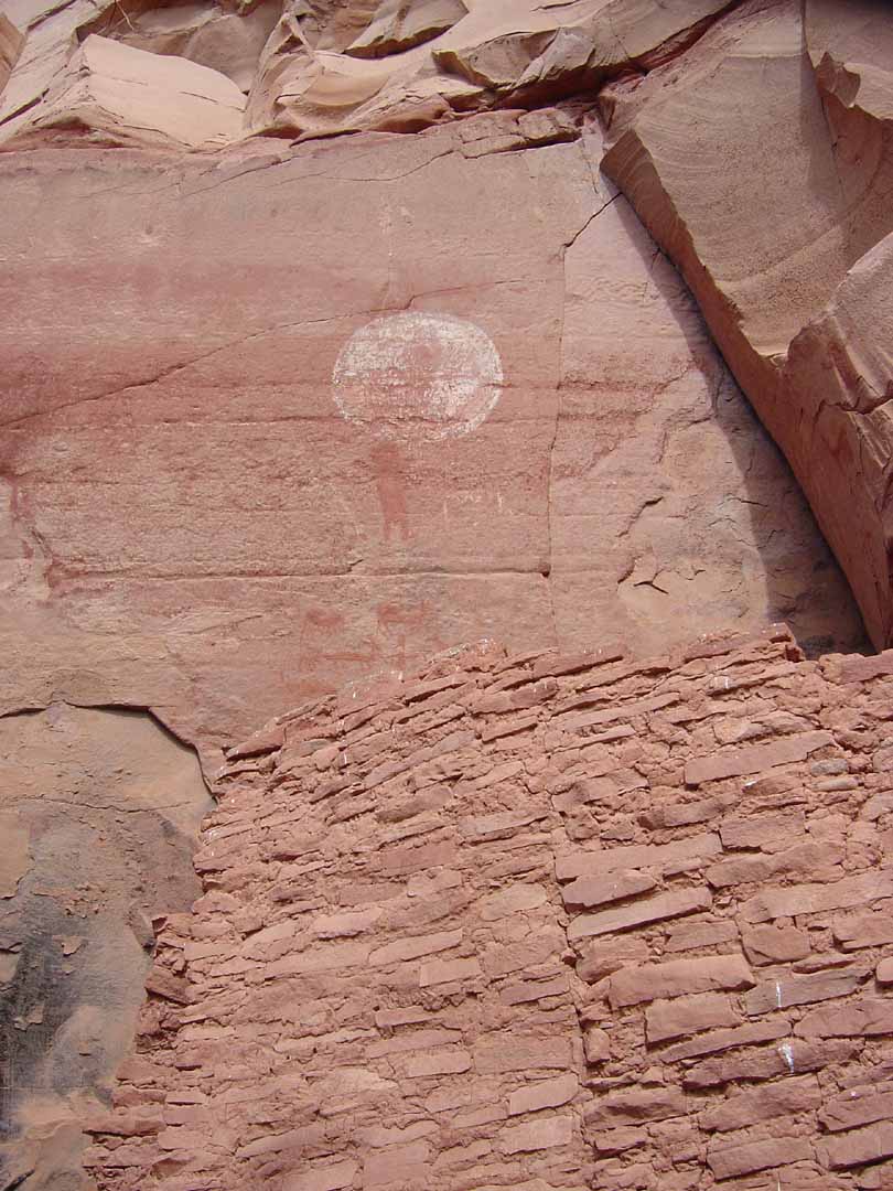
Summary: The Honanki Indian Ruins are considered to be one of the finest ruins in the Sedona area.
Challenge Level: Easy
Hiking Distance: About 1/4 mile, 1/2 mile round trip
Trailhead Location: The parking area is off of FR 525, which can be very rough. A high-clearance vehicle is recommended.
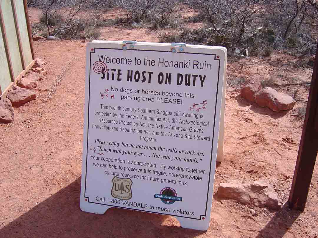
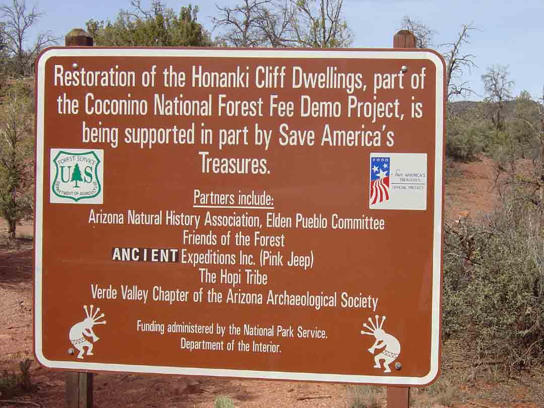
Description: The Pink Jeep Company manages The Honanki site so there aren't any volunteers or rangers stationed there (like at Palatki) and you are on your own to wander through the site. There is a metal rail fence to keep unauthorized folks out but you are very close to the structures. You may have some Jeep tours going through the site at the time you are there. The Pink Jeep Company asks that you not interfere with the tours.


For those of you who have a GPS unit, I have the GPS data available for the drive to Bradshaw Overlook and the Hanonki Ruins from Uptown Sedona.
Great Sedona Hikes
Last Updated March 31, 2021
Web Page by Bill Bohan (hikebook@greatsedonahikes.com)
send an email
with your comments/suggestions to Bill