
NOTE: The following summary information is to help with hike selection and is not intended to be used for hiking the trail. For your safety and enjoyment, please obtain a copy of Sedona Hiking Guide which is available here.
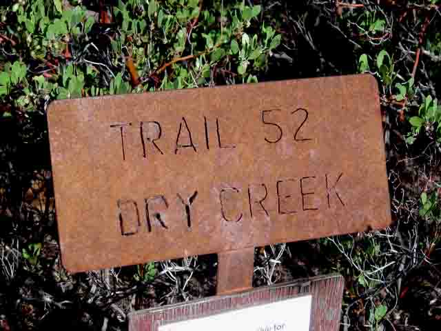
Summary: A hike through the forest that follows Dry Creek
Challenge Level: Moderate
Hiking Distance: About 2 1/4 miles one way, 4 1/2 miles total
Trailhead Location: The trailhead is located on FR 152. FR 152 is a very rough road, requiring a high clearance vehicle.
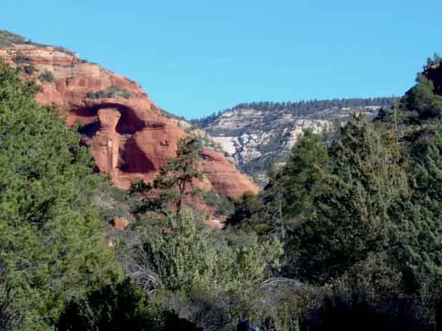
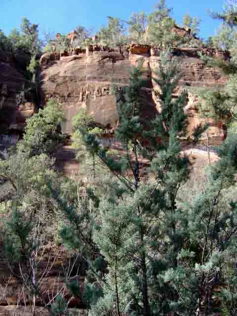
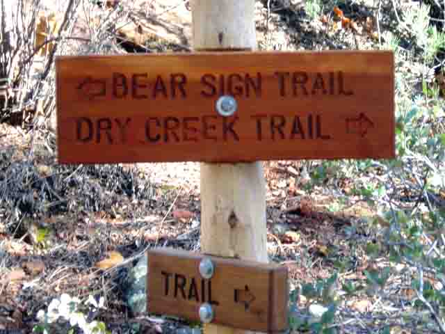
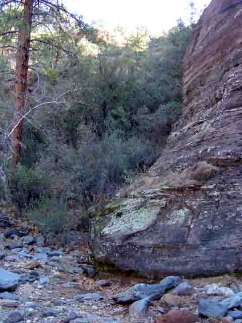
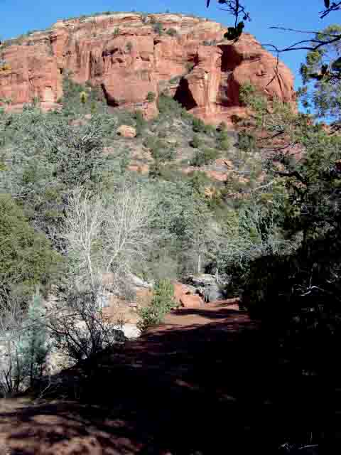
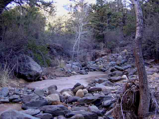
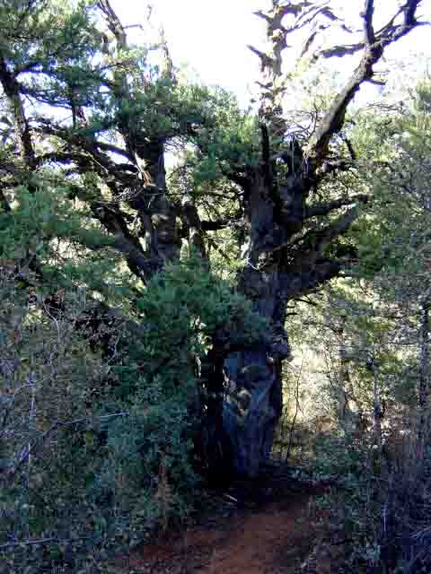
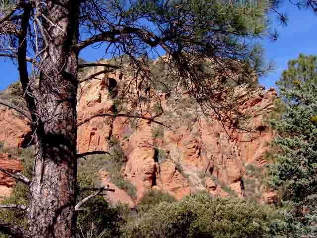
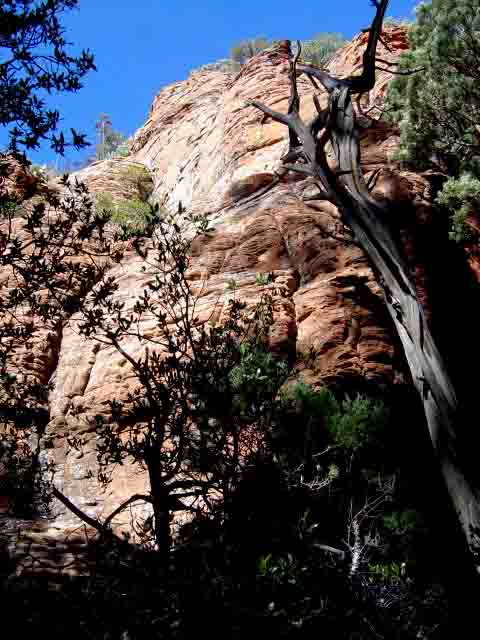
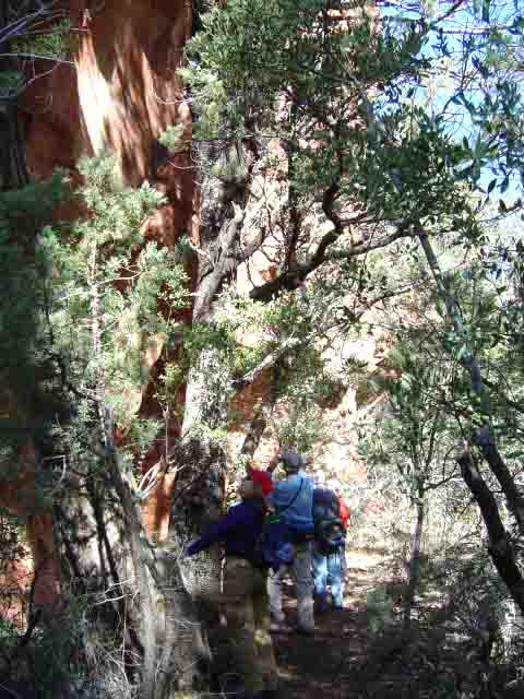
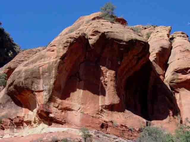
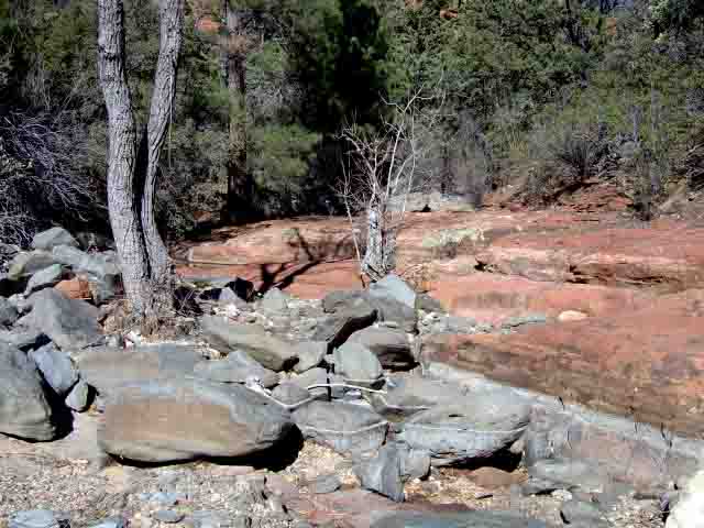
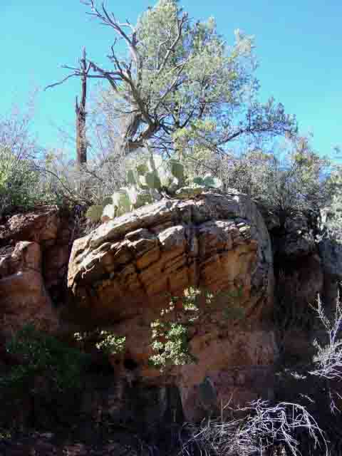
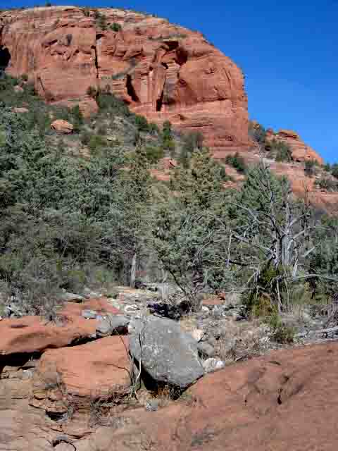
Description: The trailhead is located near the Vultee Arch trailhead. This 4.5 mile round trip moderate hike follows the path cut by Dry Creek, crossing it about a dozen times and provides nice views of towering red rock formations and a gentle uphill hike through a nice forest. You can hike further up the creek bed if you like.


For those of you who have a GPS unit, I have GPS data available for the hike which include "tracks," the route and waypoints.
Great Sedona Hikes
Last Updated March 31, 2021
Web Page by Bill Bohan (hikebook@greatsedonahikes.com)
send an email
with your comments/suggestions to Bill