NOTE: The following summary information is to help with hike selection and is not intended to be used for hiking the trail. For your safety and enjoyment, please obtain a copy of Sedona Hiking Guide which is available here.
Summary: A hike on hard red rock with nice views all around
Challenge Level: Easy
Hiking Distance: About 2 1/2 miles total in and out
Trailhead Location: The parking area is located on Schnebly Hill Road. Schnebly Hill is paved for the first mile and the last 2.7 miles can be a very rough unpaved road. A high-clearance vehicle is strongly recommended.
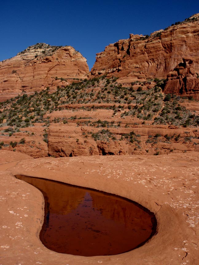
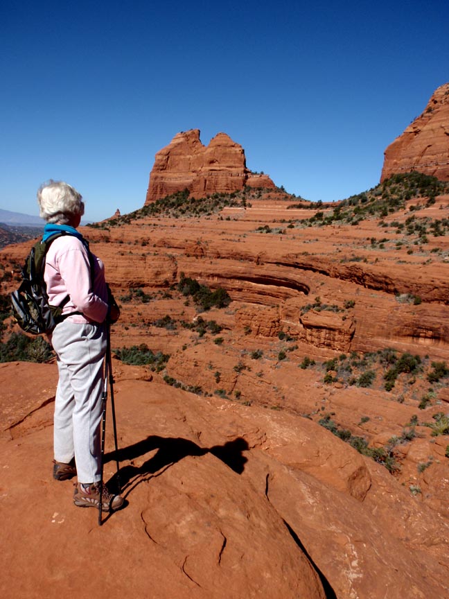
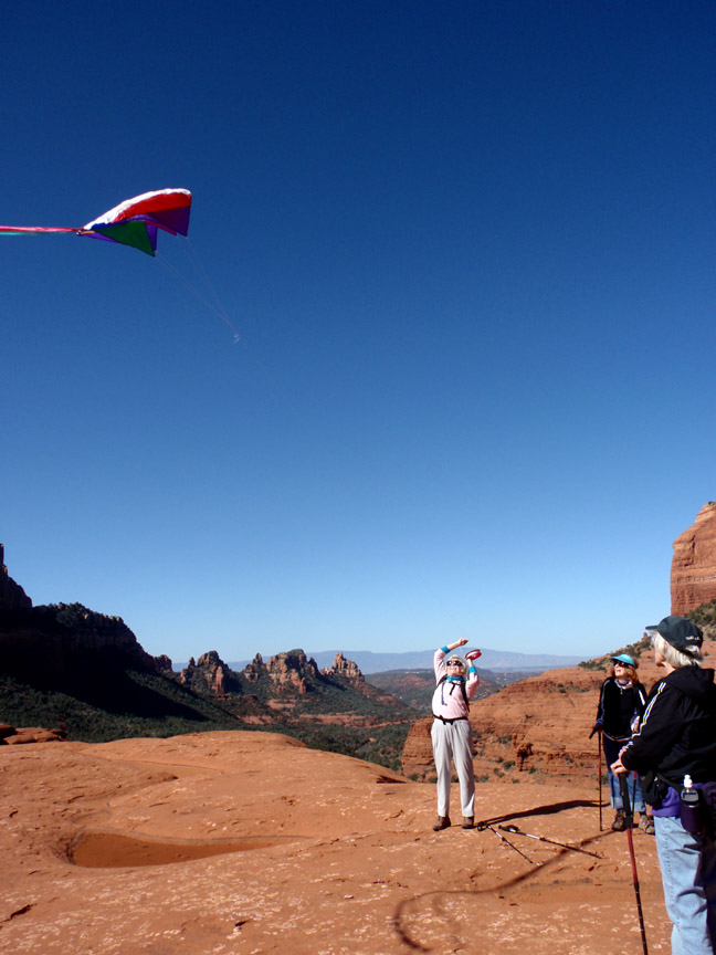
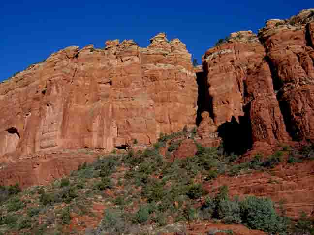
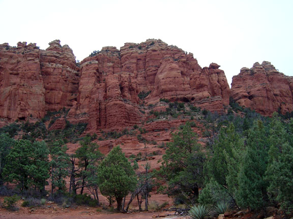
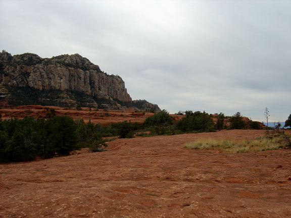
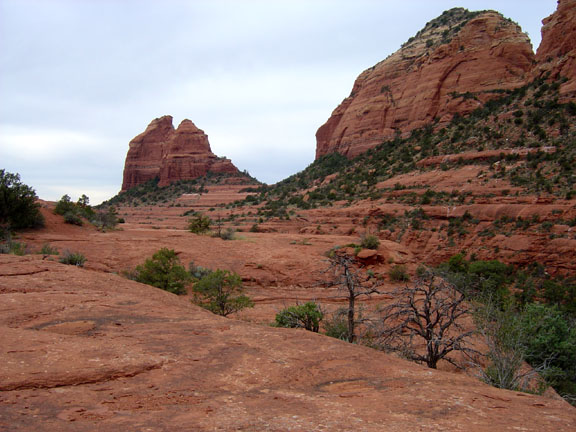
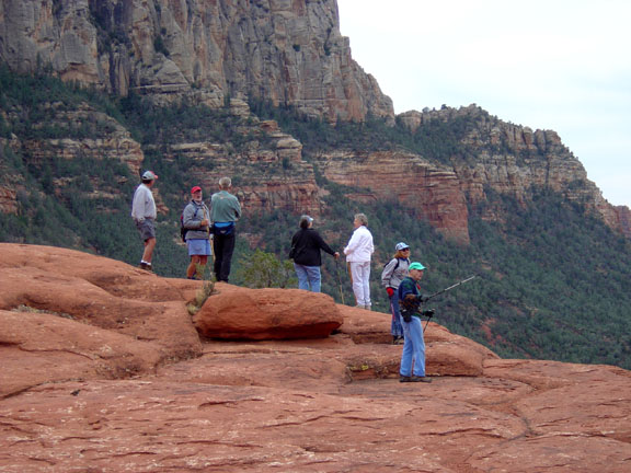
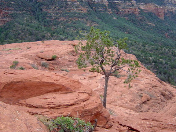
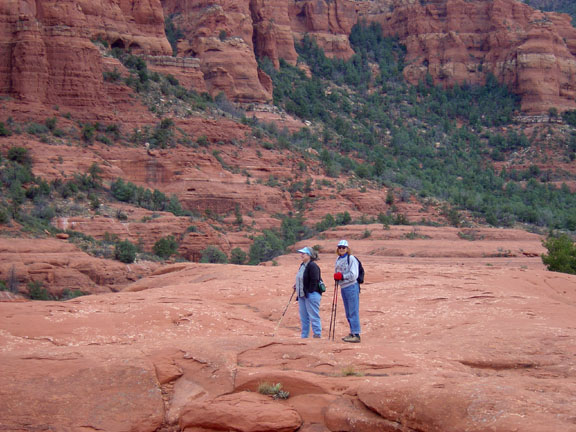
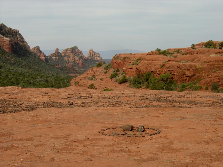
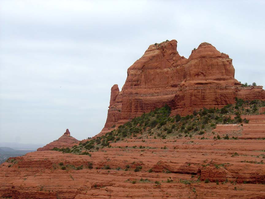
Description: The trailhead is across the road from the parking area. You'll pass through an area of small black rocks, which are pieces of lava. Sometimes you'll find these rocks placed in the shape of a medicine wheel. You'll make a left turn to go to the cow pies. If you go straight, you'll be hiking the Hangver Trail. As you continue to the left, you'll hike up on the "cow pies" which are very large circular red rock formations. There isn't a defined trail so you'll be free to explore the "cowpies." Some believe this area has an abundance of vortex energy.
Here's a link to a video of a Cow Pies hike (http://youtu.be/cyq4Fl4DhH0).
And here's a link to another Cow Pies hike (http://youtu.be/viY91gsTaz8).


For those of you who have a GPS unit, I have GPS data available for the hike which include "tracks," the route and waypoints.
Great Sedona Hikes
Last Updated March 31, 2021
Web Page by Bill Bohan (hikebook@greatsedonahikes.com)
send an email
with your comments/suggestions to Bill