

NOTE: The following summary information is to help with hike selection and is not intended to be used for hiking the trail. For your safety and enjoyment, please obtain a copy of Sedona Hiking Guide which is available here.
Summary: An in-town hike that takes you to the base of Coffeepot Rock
Challenge Level: Easy
Hiking Distance: About 2.4 miles round trip
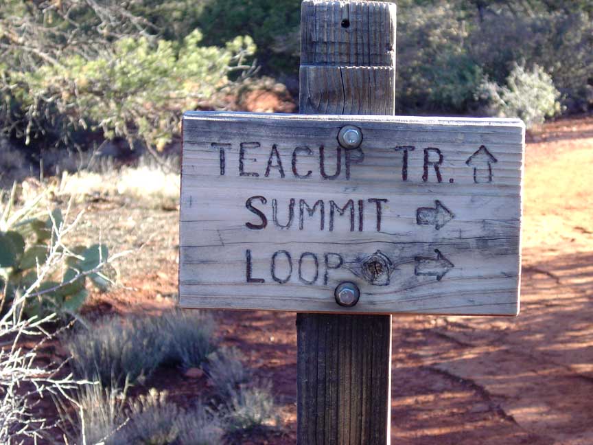
Trailhead Location: The trail begins at a parking area off of Buena Vista. This is the same parking area as the Teacup Trail and the Sugarloaf Trail.
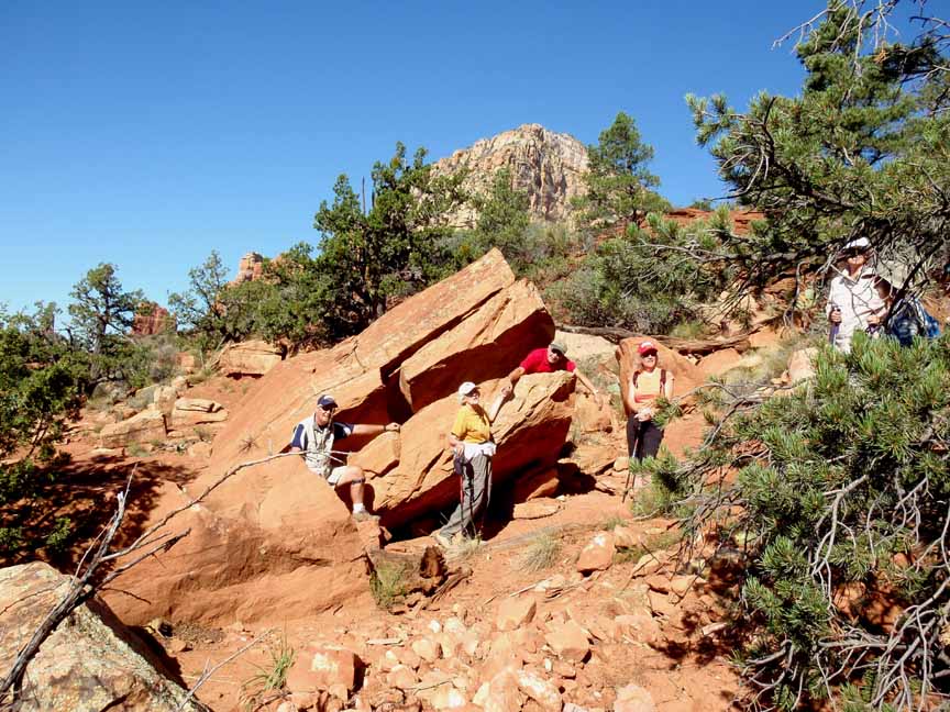
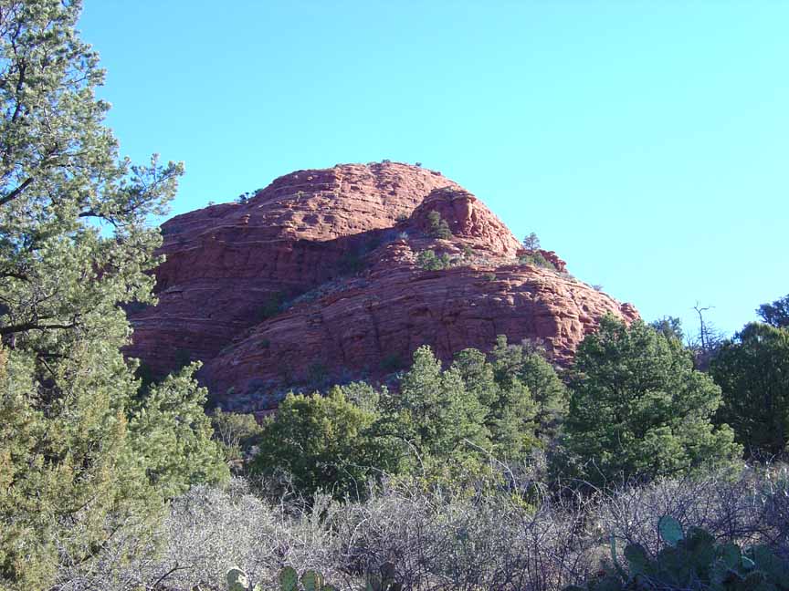
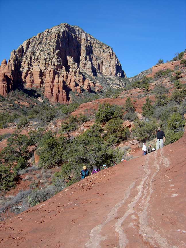
Description: This easy in-town trail takes you to the base of Coffeepot Rock, a well-known Sedona landmark. You park at the trailhead parking lot for the Teacup Trail and follow the Teacup Trail until you intersect the unmarked Coffeepot Trail. You�ll hike on ledges under coffeepot until the ledges eventually get too narrow and steep to go any further. You'll come to "Shark Rock," which looks like the open mouth of a giant shark. When you go as far as you are comfortable with (because the rock gets very steep), look up and you�ll see you are under the spout of Coffeepot.
Here's a link to a video of the hike (http://youtu.be/izJJmurMb_U)


For those of you who have a GPS unit, I have GPS data available for the hike which include "tracks," the route and waypoints.
Great Sedona Hikes
Last Updated March 31, 2021
Web Page by Bill Bohan (hikebook@greatsedonahikes.com)
send an email
with your comments/suggestions to Bill