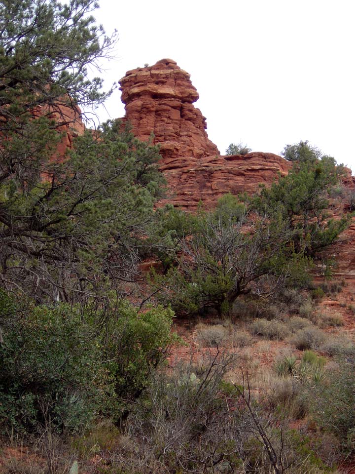
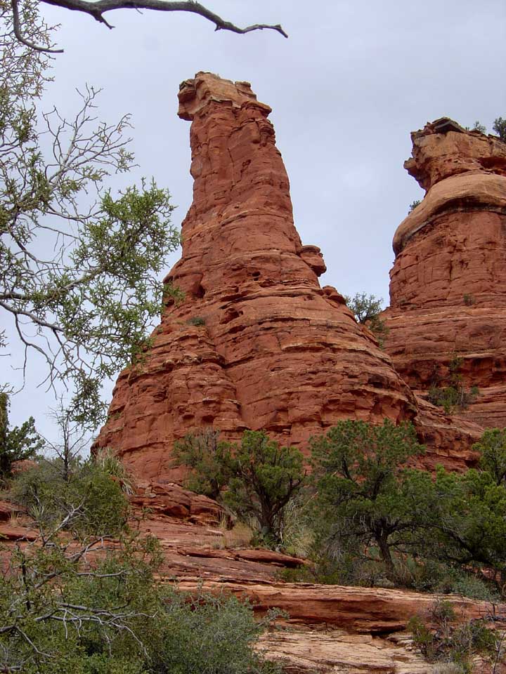
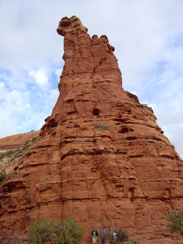
(Boynton Vortexes)
NOTE: The following summary information is to help with hike selection and is not intended to be used for hiking the trail. For your safety and enjoyment, please obtain a copy of Sedona Hiking Guide which is available here.
Summary: A short hike to two vortex rock formations
Challenge Level: Easy
Hiking Distance: About 1 mile round trip
Trailhead Location: The trail begins off of Boynton Pass Road.
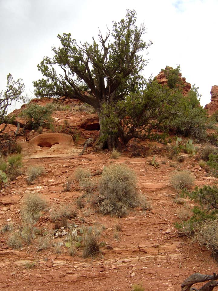
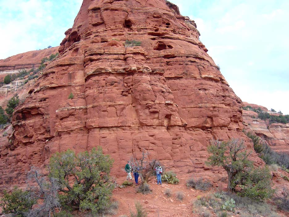
Description: If you want to see if you can experience the energy of a vortex, this is the hike for you. You hike the Boynton Canyon Trail and turn right on to the Boynton Vista Trail at the sign. Hike along the Vista Trail and the trail ends. Climb up on the rocks to the two tall rock formations above you. Some folks do their meditation and then place their foreheads on each of the rocks to feel the energy.
Here is a link to video from a Boynton Canyon hike. The first part shows the vortex at the Boynton Vista (http://youtu.be/rMcDbU8FysY).


For those of you who have a GPS unit, I have GPS data available for the hike which include "tracks," the route and waypoints.
Great Sedona Hikes
Last Updated March 31, 2021
Web Page by Bill Bohan (hikebook@greatsedonahikes.com)
send an email
with your comments/suggestions to Bill