The following summary information is to help with hike selection and is not intended to be used for hiking the trail.
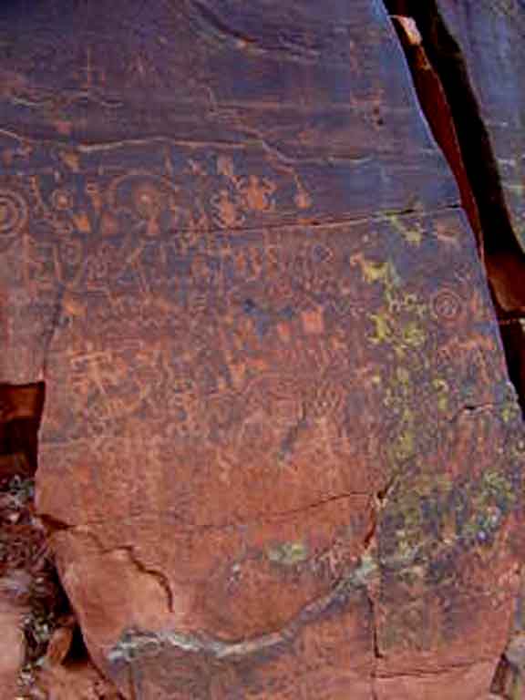
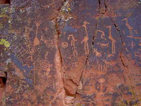
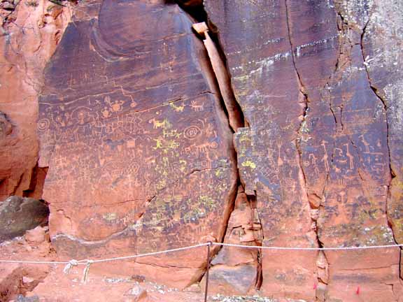
Summary: A short hike to the largest example of petroglyphs in the area
Challenge Level: Easy
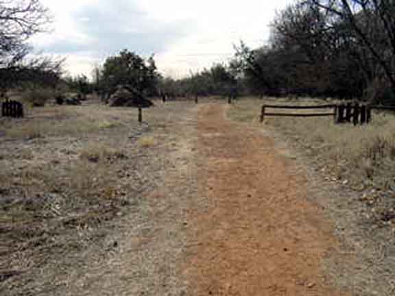
Hiking Distance: About 1 mile round trip
Trailhead Location: The parking area is located off of FR 618 about 20 miles south of Sedona
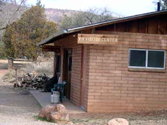
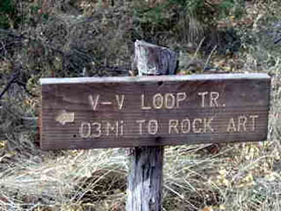
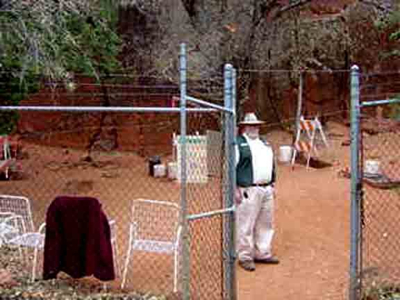
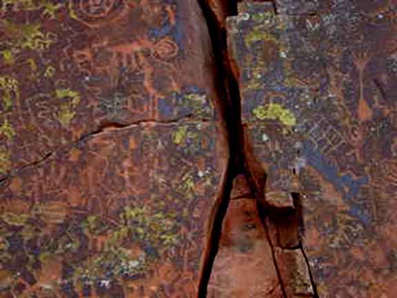
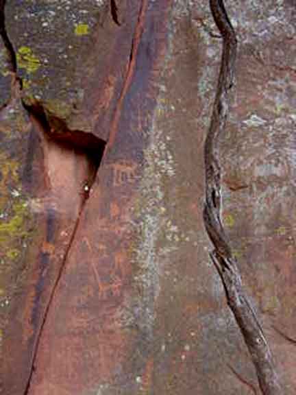
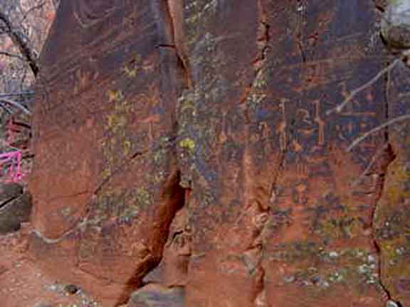
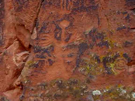
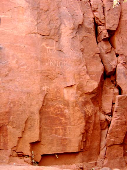
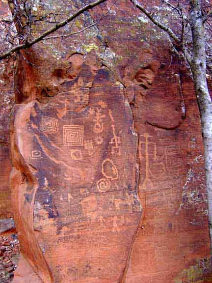
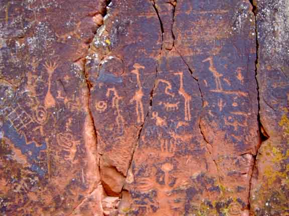
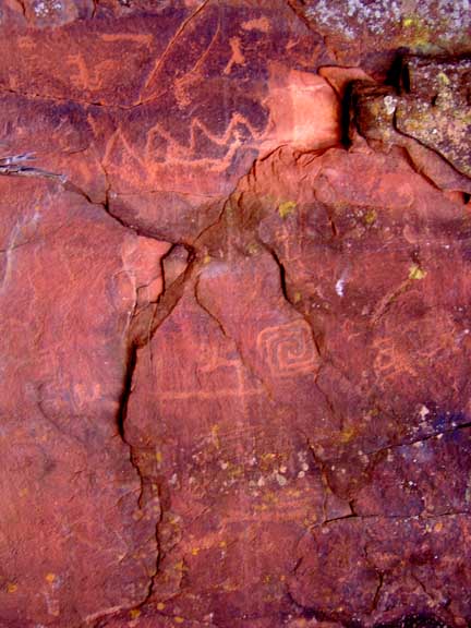
Description: The V-Bar-V petroglyph site is a unique experience. It is an easy 1/2 mile hike from the Visitor Center to the rock art site (but gets very muddy in wet weather). The views of prehistoric rock art are excellent. Note that the site is open Friday - Monday, 9:30 am to 3:30 pm.
Click on the photos below for a bigger view


For those of you who have a GPS unit, I have the GPS data available for the hike.