
NOTE: The following summary information is to help with hike selection and is not intended to be used for hiking the trail. For your safety and enjoyment, please obtain a copy of Sedona Hiking Guide which is available here.
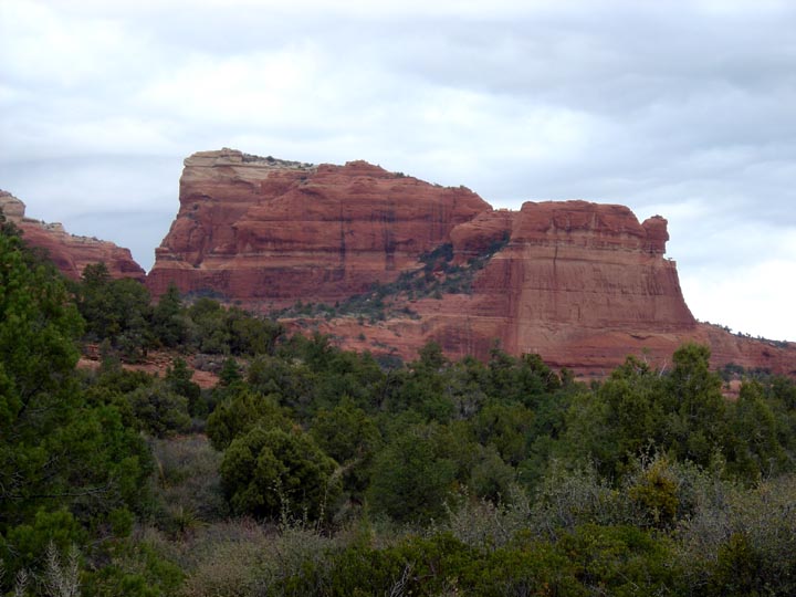
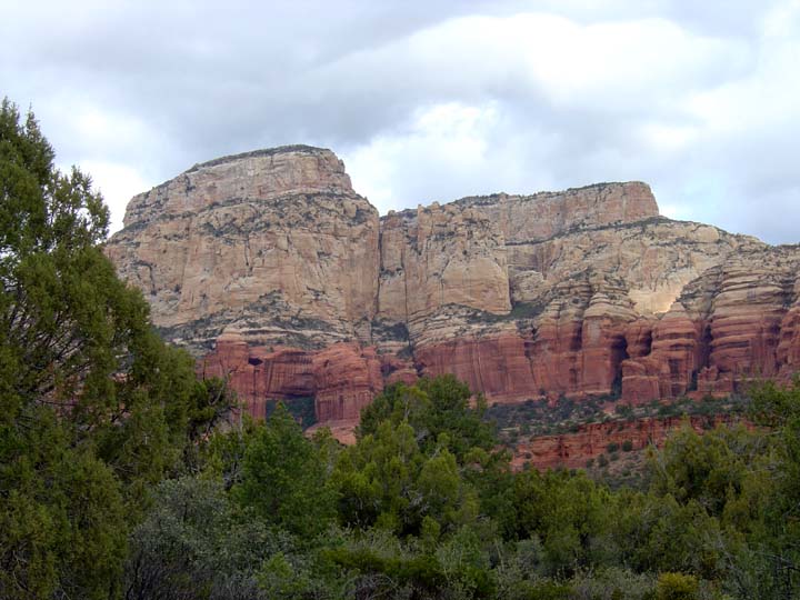
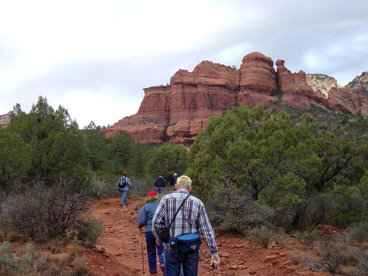
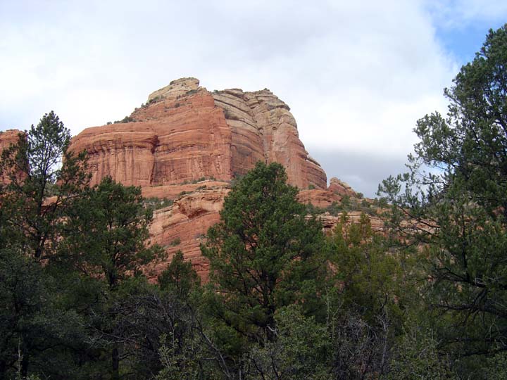
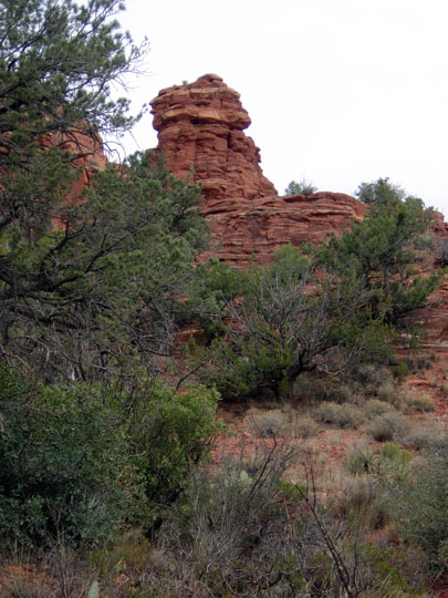
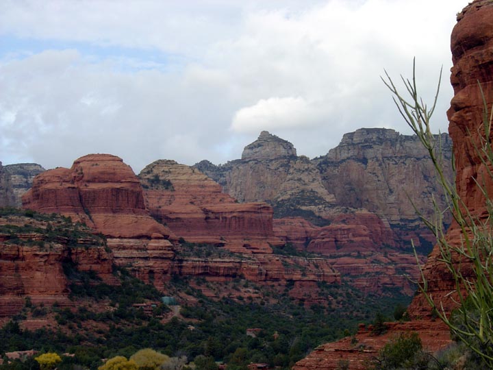
Summary: A short hike along an old jeep trail with views of Boynton Cliffs and Mescal Mountain.
Challenge Level: Easy
Hiking Distance: About 1 1/2 miles each way, 3 miles round trip
Trailhead Location: The trailhead parking is shared with Boynton Canyon trailhead.
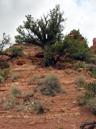
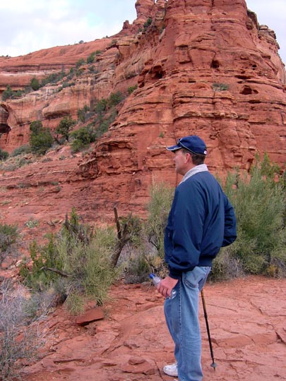
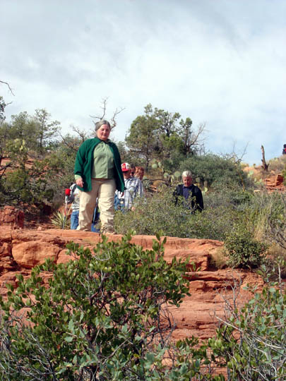
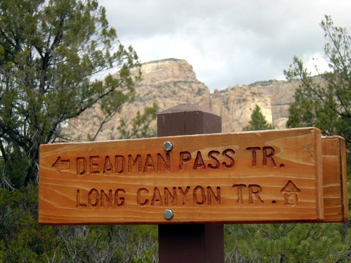
Description: The hike is through groups of Manzanita plants with good views to the left and right. The trail is about 1 1/2 miles long and ends when it intersects the Long Canyon Trail. Because it is a short hike, after we hiked back to the beginning, we decided to hike the Boynton Vista Trail up to the Vortex site. The views are great here.

For those of you who have a GPS unit, I have GPS data available for the hike which include "tracks," the route and waypoints.
Great Sedona Hikes
Last Updated March 31, 2021
Web Page by Bill Bohan (hikebook@greatsedonahikes.com)
send an email
with your comments/suggestions to Bill